Public domain
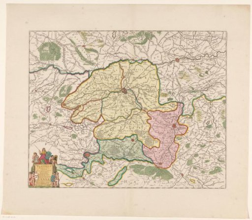
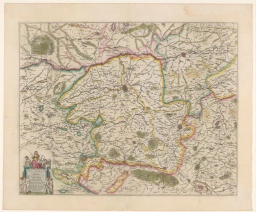
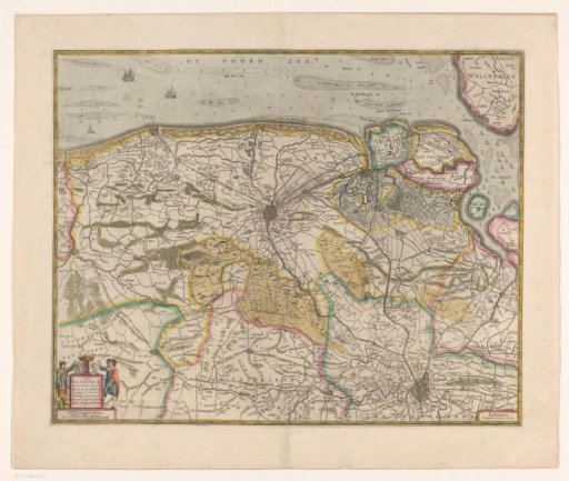
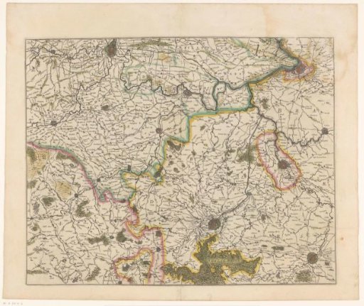
Map of Royal Flanders
From the collection of Rijksmuseum, Amsterdam. Free to download, adapt and use — no permission needed.
About this work
Map of Royal Flanders, the part of the County of Flanders that lay within the borders of the Holy Roman Empire and was held in fief from the German Emperor. On verso French text.
Rijksmuseum, Amsterdam’s own descriptionSubjects
Credit lineKaart van Rijks-Vlaanderen. 1633. anonymous. Rijksmuseum, Amsterdam. Public domain.