Public domain
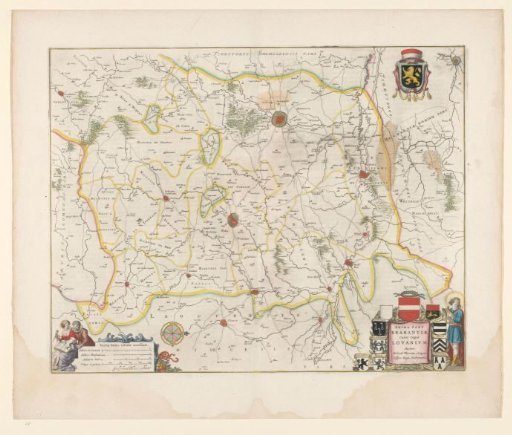
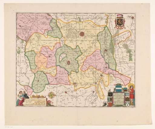
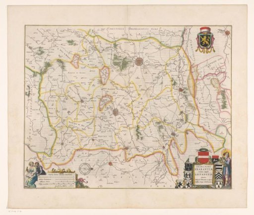
Map of the district of Leuven, part of the Duchy of Brabant
From the collection of Rijksmuseum, Amsterdam. Free to download, adapt and use — no permission needed.
About this work
Map of the quarter of Leuven, one of the four quarters into which the Duchy of Brabant is divided. Bottom right the title cartouche with around it the coats of arms of the cities Landen, Geldenaken, Halen, Gembloers, Leuven, (Zout)leeuw, Diest, Zichem and Hannuit. Top right the coat of arms of Brabant. Bottom left a cartouche with four scales: 1 Milliare Germanicum / 1 Milliare Brabanticum, and two others. On verso Dutch text.
Rijksmuseum, Amsterdam’s own descriptionCredit lineKaart van het kwartier van Leuven, onderdeel van het hertogdom Brabant. 1642 - 1664. anonymous. Rijksmuseum, Amsterdam. Public domain.