Public domain
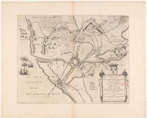
Map of the siege and capture of Grevelingen, 1644
From the collection of Rijksmuseum, Amsterdam. Free to download, adapt and use — no permission needed.
About this work
Map of the siege and capture of the city of Gravelines by the French army under Gaston, Duke of Orléans, 27 May–28 July 1644. Plan of the fortified city and the surrounding area, with the harbor on the left blocked by Dutch ships. In the lower right, a cartouche with the dedication, with the coat of arms of Gaston of Orléans above it. To the left of the cartouche, a legend b-i. With Dutch text on the verso.
Rijksmuseum, Amsterdam’s own descriptionCredit lineKaart van het beleg en de verovering van Grevelingen, 1644. 1652. anonymous. Rijksmuseum, Amsterdam. Public domain.
Similar works
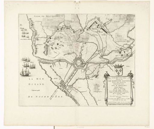 Map of the Siege and Conquest of Grevelingen, 1644
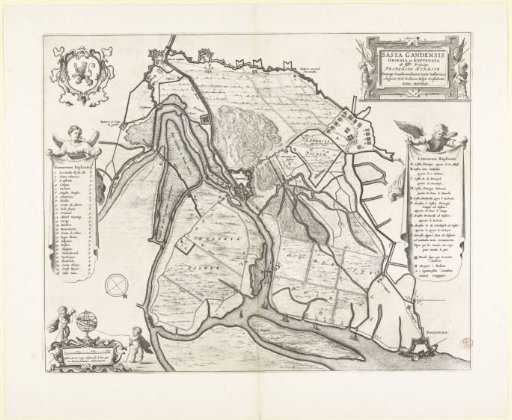 Map of the siege and capture of Sas-van-Gent, 1644
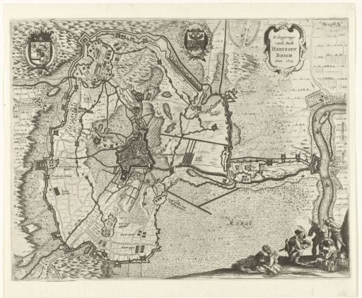 Map of the siege of 's-Hertogenbosch by Frederick Henry, 1629
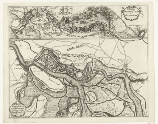 Fortifications during the Siege of Bergen op Zoom in 1622 and the fortifications along the Scheldt in 1627
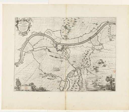 Siege and capture of Grave by Maurice, 1602
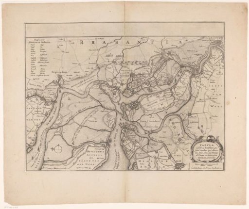 Forts on the Ooster- and Westerschelde, 1627