Public domain
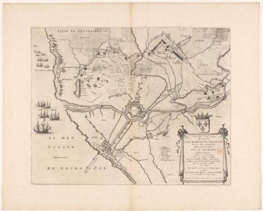
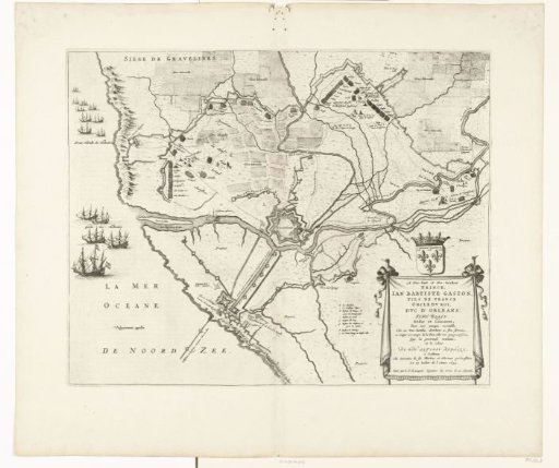
Map of the Siege and Conquest of Grevelingen, 1644
From the collection of Rijksmuseum, Amsterdam. Free to download, adapt and use — no permission needed.
About this work
Map of the siege and capture of the town of Grevelingen by the French army under Gaston, Duke of Orléans, 27 May – 28 July 1644. Plan of the fortified town with the surrounding land, on the left the harbor blocked by Dutch ships. Bottom right, a cartouche with the dedication, with the coat of arms of Gaston of Orléans above it. To the left of the cartouche, a legend b-i. With Dutch text on the verso.
Rijksmuseum, Amsterdam’s own descriptionCredit lineKaart van het beleg en de verovering van Grevelingen, 1644. 1652. anonymous. Rijksmuseum, Amsterdam. Public domain.