Public domain
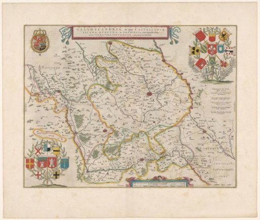
Map of French Flanders
From the collection of Rijksmuseum, Amsterdam. Free to download, adapt and use — no permission needed.
About this work
Map of French Flanders, with the bailiwicks of Lille, Tournai, and Douai. Along the top edge the title cartouche. Top left: the coat of arms of the King of Spain. Top right: a decoration with the coats of arms of the cities in the bailiwick of Lille. Bottom left: a decoration with the coats of arms of the cities in the bailiwick of Tournai. Bottom, right of center: a cartouche with two scale bars: 2 Milliar. Germanica communia / 3 Milliaria Gallica. Along the right edge a legend. With Dutch text on verso.
Rijksmuseum, Amsterdam’s own descriptionCredit lineKaart van Frans-Vlaanderen. 1647 - 1648. anonymous. Rijksmuseum, Amsterdam. Public domain.