Public domain
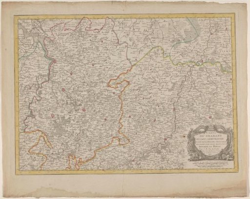
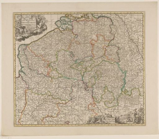
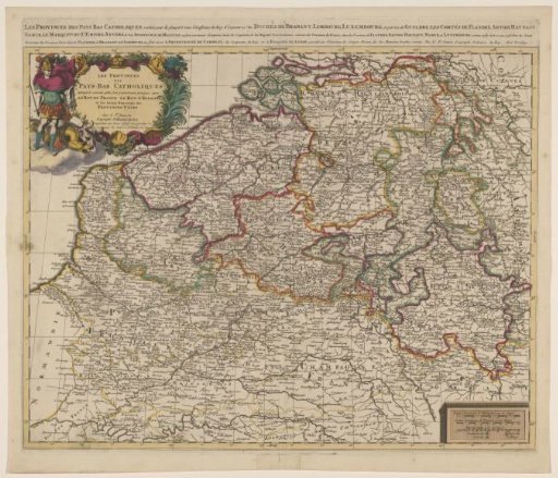
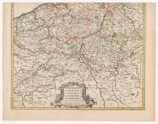
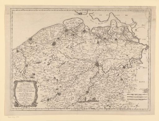
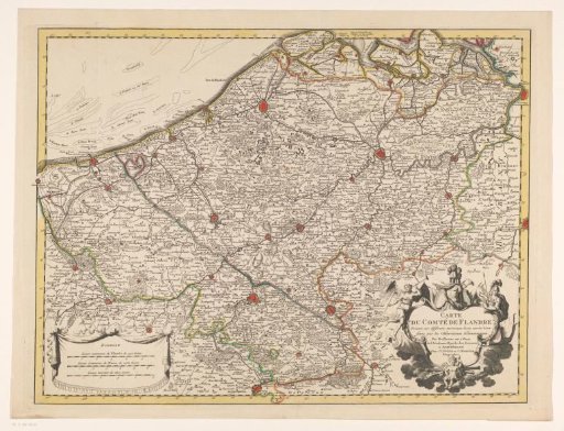
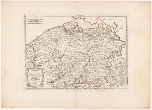
Map of the County of Flanders
From the collection of Rijksmuseum, Amsterdam. Free to download, adapt and use — no permission needed.
About this work
Map of the County of Flanders. The title cartouche in the lower left. Three scale bars in the upper left: 10 Milles Pas Geometriques / 4 Lieües Communes de France / 3 Lieües Communes de Flandre. The map is provided with a degree division along the edges. Numbered 77 in the upper right.
Rijksmuseum, Amsterdam’s own descriptionSubjects
Credit lineKaart van het Graafschap Vlaanderen. 1657. anonymous. Rijksmuseum, Amsterdam. Public domain.