Public domain
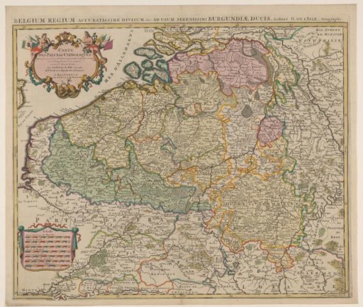
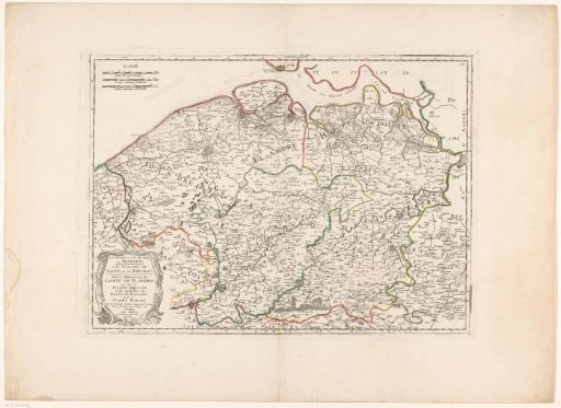
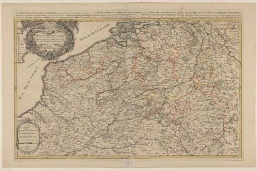
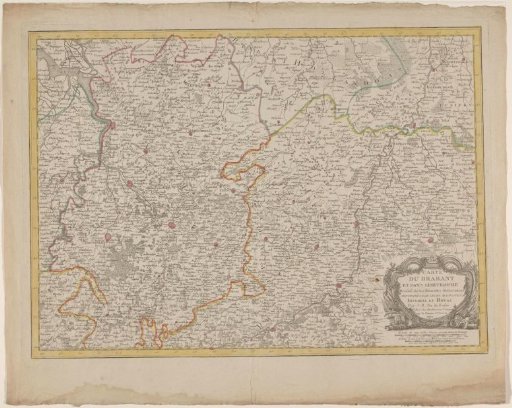
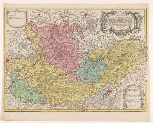
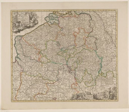
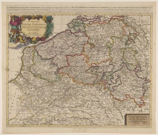
Map of the Southern Netherlands
From the collection of Rijksmuseum, Amsterdam. Free to download, adapt and use — no permission needed.
About this work
Map of the Southern Netherlands. Title above the map. Cartouche with second title in the upper left. Cartouche with legend and three scale bars in the lower right: 7 Lieues Communes d'Allemagne à 15 au Degré / 10 Lieues Communes de France à 20 au Degré / 30 Mile de Italie a 60 au Degré. The map is provided with a coordinate grid and a degree division along the edges.
Rijksmuseum, Amsterdam’s own descriptionCredit lineKaart van de Zuidelijke Nederlanden. 1675 - 1711. anonymous. Rijksmuseum, Amsterdam. Public domain.