Public domain
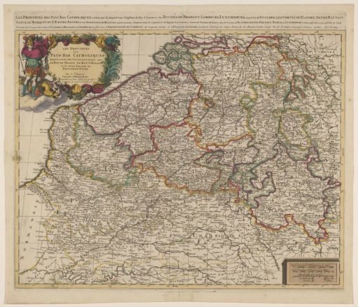
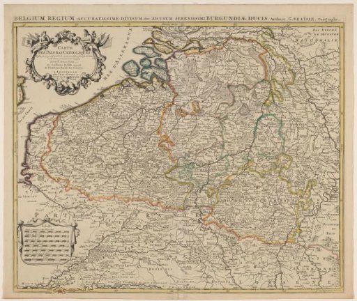
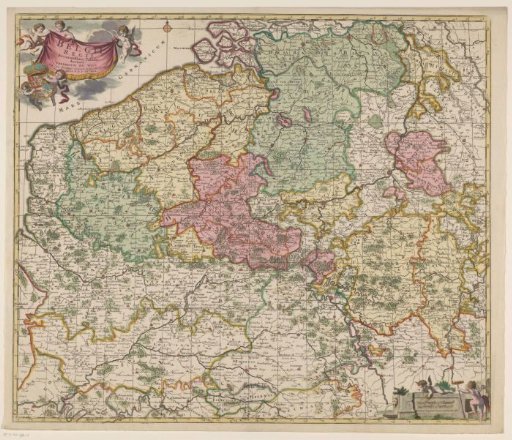
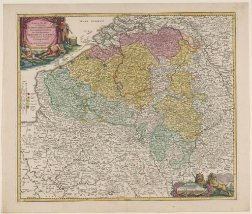
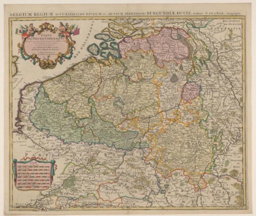
Map of the Southern Netherlands
From the collection of Rijksmuseum, Amsterdam. Free to download, adapt and use — no permission needed.
About this work
Map of the Southern Netherlands. Title cartouche in the upper left. Second title above the map. Cartouche with seven scale bars in the lower left: 11 Lieües Communes des Pays Bas / 12 Lieües de Flanare and five others. The map is provided with a degree division along the edges.
Rijksmuseum, Amsterdam’s own descriptionCredit lineKaart van de Zuidelijke Nederlanden. 1711 - 1719. Johannes L. van Luchtenburg. Rijksmuseum, Amsterdam. Public domain.