Public domain
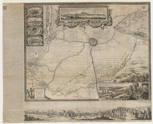
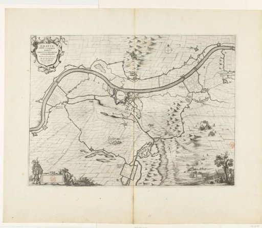
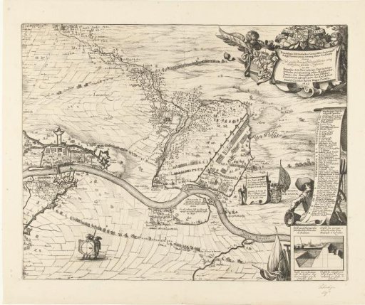
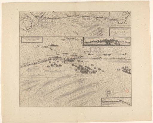
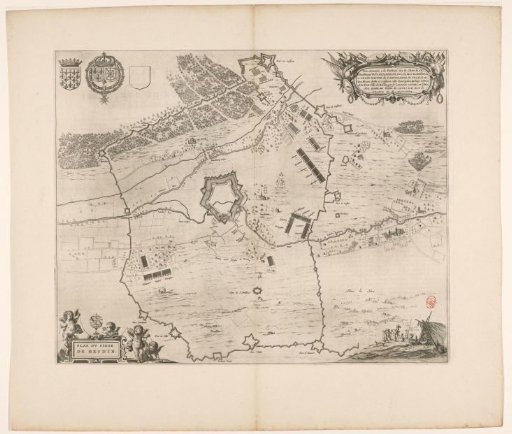
Map of the Siege of Heusden by the French, 1639
From the collection of Rijksmuseum, Amsterdam. Free to download, adapt and use — no permission needed.
About this work
Map of the siege of Hesdin (Heusden) by the French. Map with the city in the center, surrounded by the positions of the besieging troops. In the lower left, the title cartouche with four putti. In the upper right, a cartouche with dedication. In the upper left, the coat of arms of the County of Artois, with to the right probably the coat of arms of Charles de la Porte and an empty shield. With Dutch text on the verso.
Rijksmuseum, Amsterdam’s own descriptionCredit lineKaart van het beleg van Heusden door de Fransen, 1639. 1652. anonymous. Rijksmuseum, Amsterdam. Public domain.