Public domain
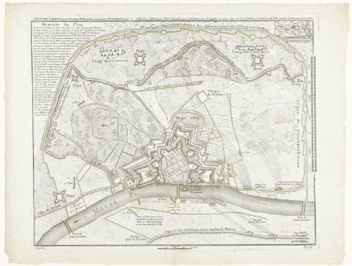
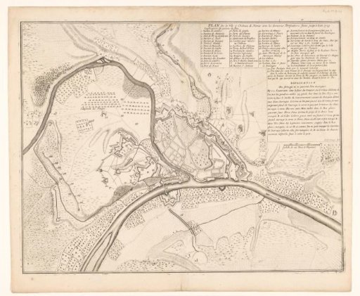
Map of Namur, 1709
From the collection of Rijksmuseum, Amsterdam. Free to download, adapt and use — no permission needed.
About this work
Plan of Namur with the fortifications up to the year 1709. In the upper right the legend 1-53 and an explanation. Below a scale bar: Eschelle de 300 Toises de Rhynland.
Rijksmuseum, Amsterdam’s own descriptionCredit linePlattegrond van Namen, 1709. 1709 - 1712. Jacobus Harrewijn. Rijksmuseum, Amsterdam. Public domain.