Public domain
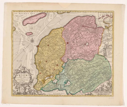
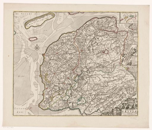
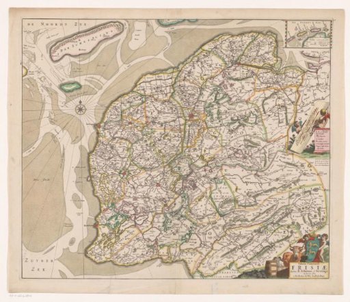
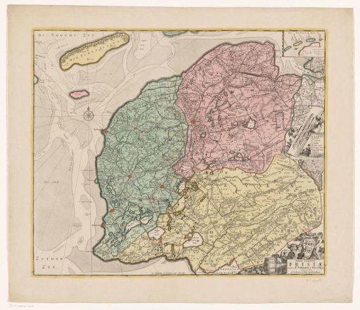
Map of Friesland
From the collection of Rijksmuseum, Amsterdam. Free to download, adapt and use — no permission needed.
About this work
Top right: inset map with Vlieland, Terschelling, Ameland, and Schiermonnikoog. Center right: two putti with legend and two scale bars: Mille Germanica commune / one common Dutch mile and 0.5, Dutch miles or hours travel. Bottom right: title cartouche with the coat of arms of Friesland above it. Degree division along the edges.
Rijksmuseum, Amsterdam’s own descriptionCredit lineKaart van Friesland. 1721 - 1774. anonymous. Rijksmuseum, Amsterdam. Public domain.