Public domain
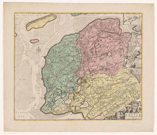
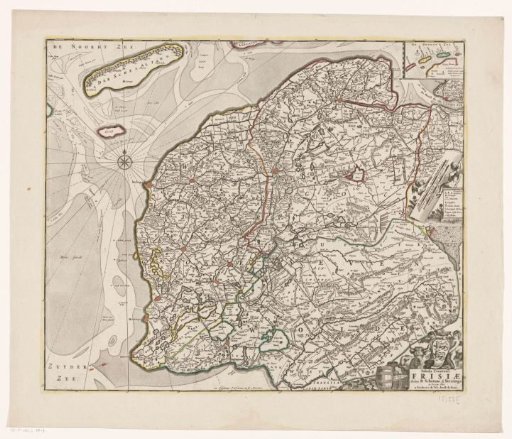
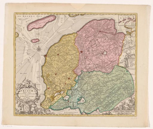
Map of Friesland
From the collection of Rijksmuseum, Amsterdam. Free to download, adapt and use — no permission needed.
About this work
Bottom left: title cartouche with the coat of arms of Friesland below it, surrounded by putti and sea creatures. Top right: small inset with the Wadden Islands Vlieland, Ameland, Terschelling, and Schiermonnikoog. Center right: legend. Bottom right: putti with agricultural and livestock items: butter, cheese, grain, and cattle. Below that: three scale bars: Milliaria Germanica communia / Gemeene Duytsche mylen, Milliaria Belgia sive hore itineris, Nederlantsche mylen ofte uren gaens. Degree divisions along the edges.
Rijksmuseum, Amsterdam’s own descriptionCredit lineKaart van Friesland. after 1775. anonymous. Rijksmuseum, Amsterdam. Public domain.