Public domain
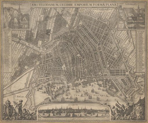
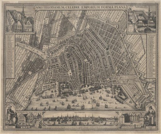
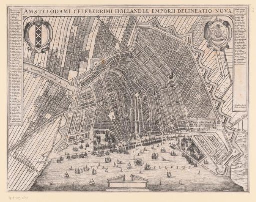
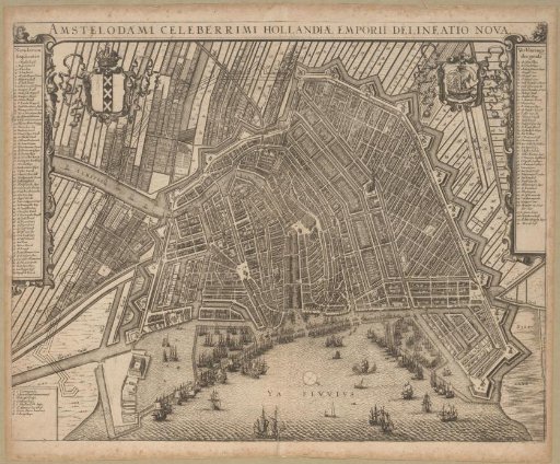
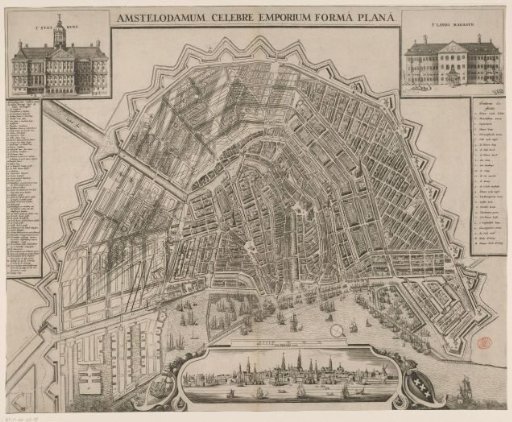
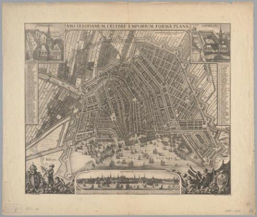
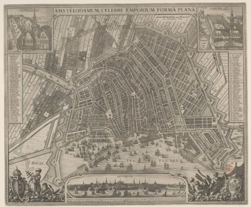
Map of Amsterdam with City View
From the collection of Rijksmuseum, Amsterdam. Free to download, adapt and use — no permission needed.
About this work
Map in bird's-eye perspective. The left half shows the design for new bastions to be built (for the Fourth Extension). Top left: a view of the Old Town Hall on the Dam, below it the legend 1-50. Title at the top center. Top right: a view of the Exchange, below it the legend 51-100. To the left of that a scale bar: 2000 Amsterdam feet. Bottom left: the city coat of arms and two figures, likely sailors (one holding a Jacob's staff, the other an anchor and a telescope). Bottom center: a view of the city with information in Latin and Dutch below it. Right: two fishermen and the city seal. Orientation: south-southwest at the top.
Rijksmuseum, Amsterdam’s own descriptionSubjects
Credit linePlattegrond van Amsterdam met stadsgezicht. in or after c. 1643 - 164. Claes Jansz. Visscher (II), anonymous. Rijksmuseum, Amsterdam. Public domain.