Public domain
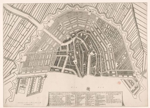
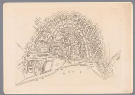
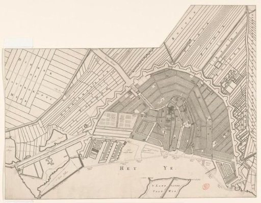
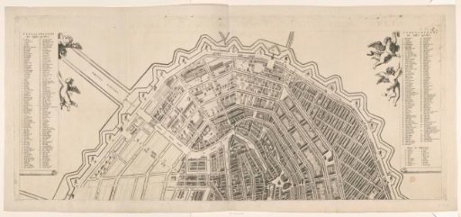
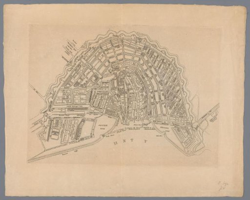
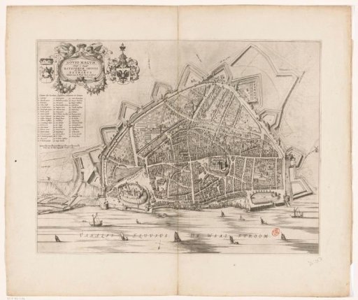
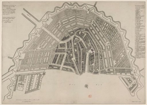
Map of Amsterdam with Design for the Fourth Extension
From the collection of Rijksmuseum, Amsterdam. Free to download, adapt and use — no permission needed.
About this work
Map of Amsterdam with the design by Daniel Stalpaert for the Fourth Extension (expansion) of the city. The part to be built is hatched more lightly. Top left: the title and information. Bottom left: a scale bar: 2500 Amsterdam feet. Right: the legend 1-66. Orientation: south-southwest at the top.
Rijksmuseum, Amsterdam’s own descriptionCredit linePlattegrond van Amsterdam met ontwerp voor de Vierde Uitleg. 1662 - 1663. Nicolaes Visscher (I), anonymous. Rijksmuseum, Amsterdam. Public domain.