Public domain
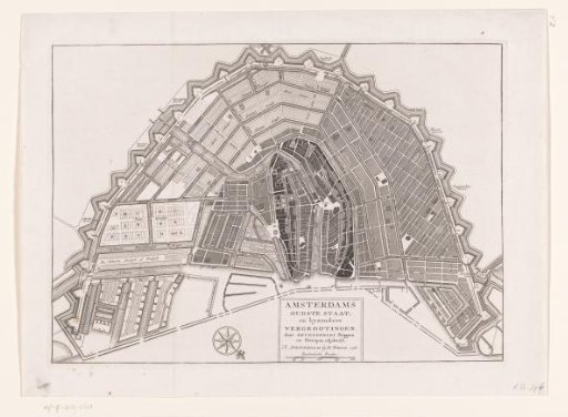
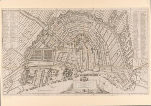
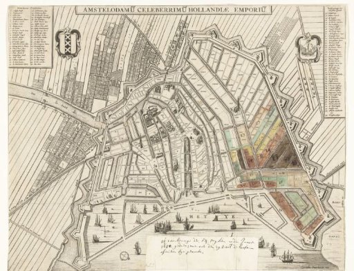
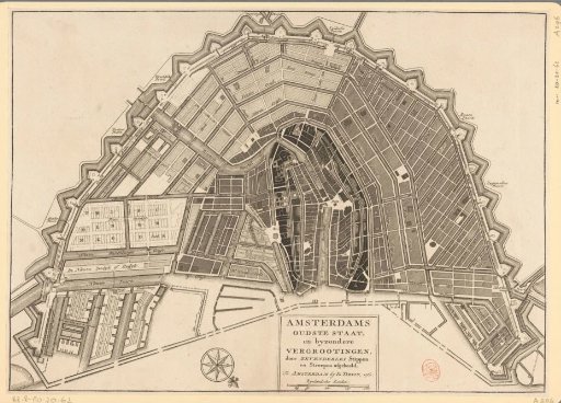
Map of Amsterdam with various expansion phases
From the collection of Rijksmuseum, Amsterdam. Free to download, adapt and use — no permission needed.
About this work
Plan of Amsterdam showing various expansion phases (reclamation) of the city. The different expansions are indicated with different hatching. Below right of the center a cartouche with the title and a scale bar: 200 Rynlandsche Roeden. Orientation: south-southwest up.
Rijksmuseum, Amsterdam’s own descriptionCredit linePlattegrond van Amsterdam met verschillende uitbreidingsfasen. 1760. anonymous. Rijksmuseum, Amsterdam. Public domain.