Public domain
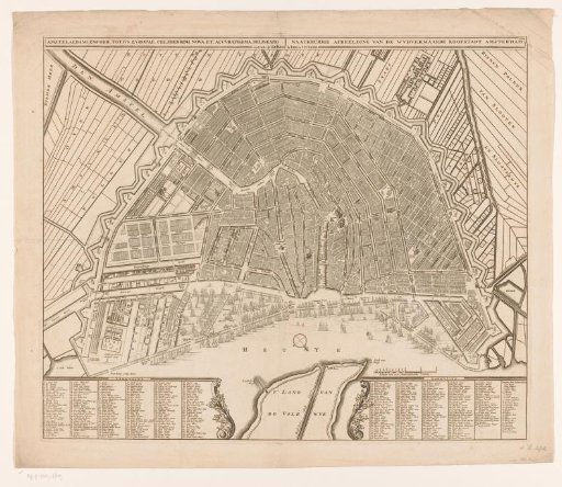
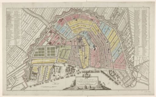
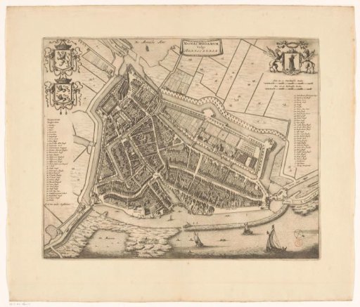
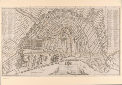
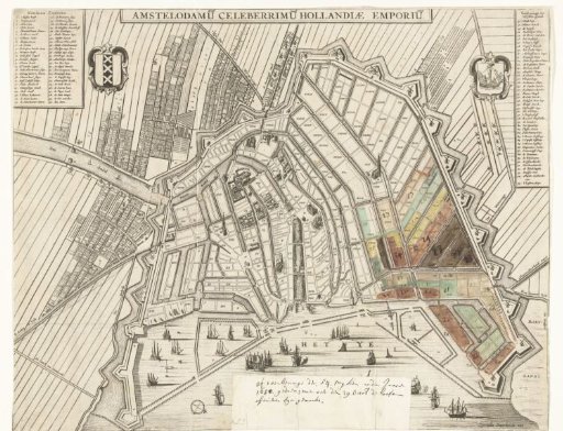
Map of Amsterdam, 1650
From the collection of Rijksmuseum, Amsterdam. Free to download, adapt and use — no permission needed.
About this work
Map of Amsterdam with the division into 54 districts numbered I-LIV for the schutterij, over which the chief officers were elected on 29 October 1650. A number of the districts on the right of the map are hand-colored and provided with numbers (20-27), corresponding to the numbered list of chief officers. Top left the legend 1-50, right 51-95. At the bottom a piece of paper pasted with annotation about the list of 29 October 1650. See also the corresponding list.
Rijksmuseum, Amsterdam’s own descriptionSubjects
Credit lineMap of Amsterdam, 1650. 1650. anonymous. Rijksmuseum, Amsterdam. Public domain.