Public domain
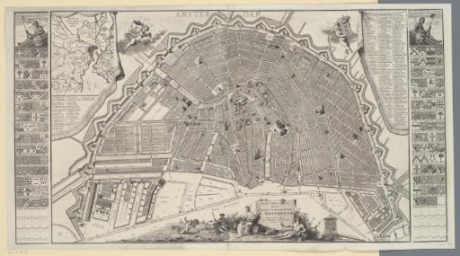
Plan of Amsterdam
From the collection of Rijksmuseum, Amsterdam. Free to download, adapt and use — no permission needed.
About this work
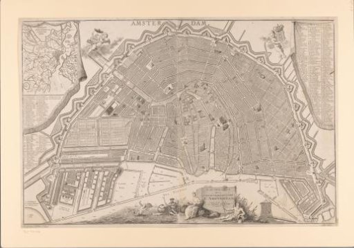
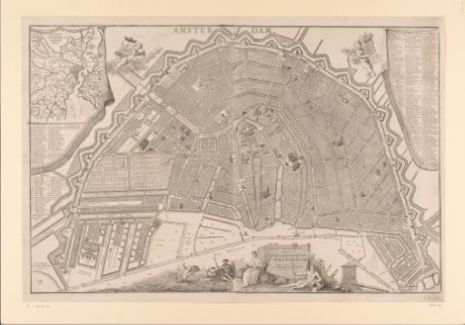
Plan of Amsterdam. On the left and right the coats of arms of the mayors of Amsterdam from 1578 to 1731. On the left and right the legend of street names. Top left an insert with a map of Amstelland. At the bottom in the middle the title cartouche with the city maiden and river gods. To the right of that the scale bar: Scale of 1500 Rhynland Feet. Orientation: South-southwest at the top.
Rijksmuseum, Amsterdam’s own descriptionCredit linePlattegrond van Amsterdam. in or after 1731. Hendrik de Leth. Rijksmuseum, Amsterdam. Public domain.