Public domain
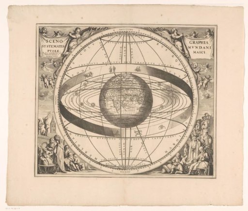
Celestial map of the Ptolemaic system
From the collection of Rijksmuseum, Amsterdam. Free to download, adapt and use — no permission needed.
About this work
Celestial map showing the geocentric system of Ptolemy. Centrally, a three-dimensional representation of the Earth showing the Eastern Hemisphere, surrounded by the zodiac and the orbits of the planets, the moon, and the sun. The map features a degree scale along the edges. Title cartouches in the upper left and right corners, supported by putti. Below, putti with various geometric instruments. In the lower left and right corners, a scene with a cartographer, a terrestrial globe, and geometric instruments. Numbered in the lower right corner: 2.
Rijksmuseum, Amsterdam’s own descriptionCredit lineHemelkaart van het stelsel van Ptolemaeus. 1660. anonymous. Rijksmuseum, Amsterdam. Public domain.
Similar works
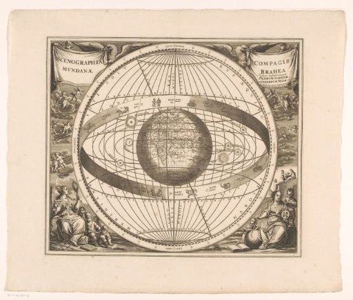 Celestial chart of the Tychonic system
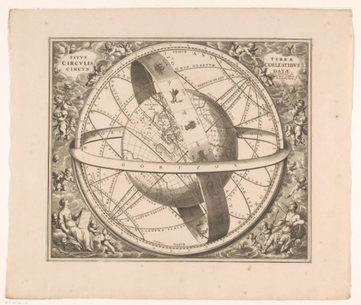 Celestial chart of the earth according to the Ptolemaic system
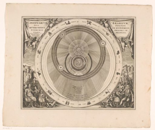 Celestial chart of the Tychonic system
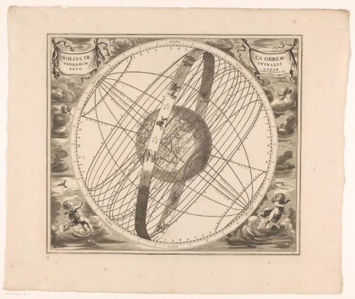 Celestial chart of the sun's orbit around the earth, according to Ptolemy
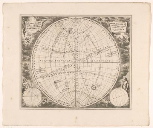 Celestial chart with upright and oblique terrestrial globes
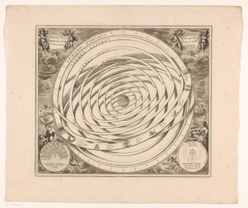 Celestial map of the Ptolemaic system