Public domain
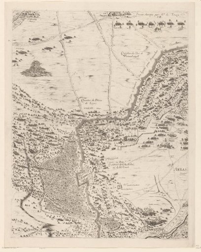
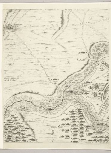
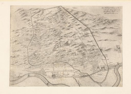
Map of the Hunting Ground of Stadtholder William II at Dieren, 1648
From the collection of Rijksmuseum, Amsterdam. Free to download, adapt and use — no permission needed.
About this work
Map of the hunting ground of Stadtholder William II at Dieren, in the situation around 1648. The hunting ground on the Veluwe was realized between 1648 and 1649 and is entirely enclosed with a wooden fence.
Rijksmuseum, Amsterdam’s own descriptionCredit lineKaart van de Wildbaan van Stadhouder Willem II te Dieren, 1648. 1653 - 1672. Nicolaes van Geelkercken. Rijksmuseum, Amsterdam. Public domain.