Public domain
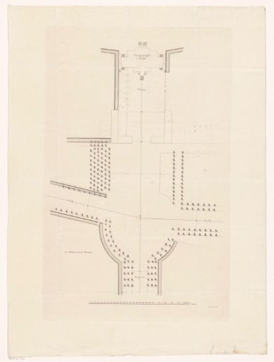
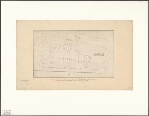
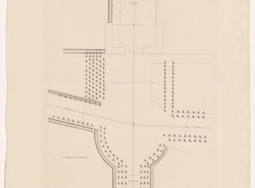
Map of Soestdijk Palace and the adjacent avenues
From the collection of Rijksmuseum, Amsterdam. Free to download, adapt and use — no permission needed.
About this work
At the bottom, a scale: Rynland foot measure.
Rijksmuseum, Amsterdam’s own descriptionCredit linePlattegrond van Paleis Soestdijk en voorliggende lanen. 1815 - 1868. Rijksmuseum, Amsterdam. Public domain.