Public domain
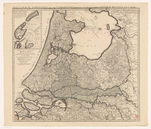
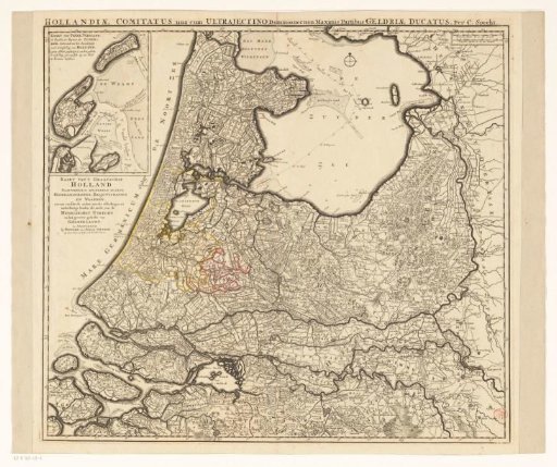
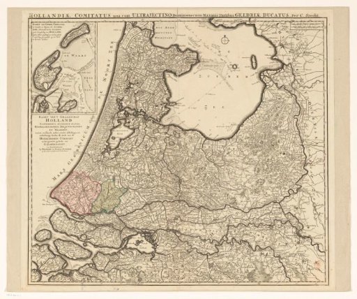
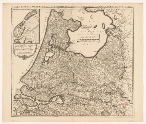
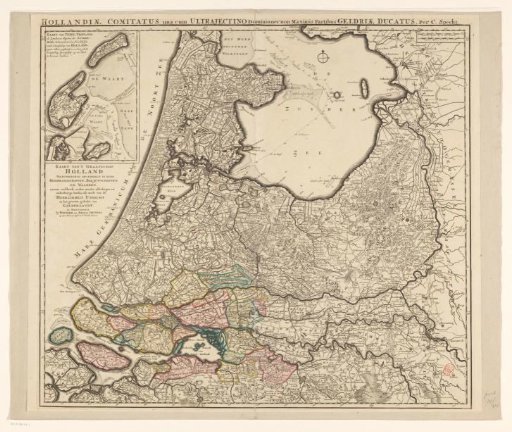
Map of the Provinces of Holland, Utrecht, and Gelderland with the Areas Flooded by Dike Breaks in 1740-1741
From the collection of Rijksmuseum, Amsterdam. Free to download, adapt and use — no permission needed.
About this work
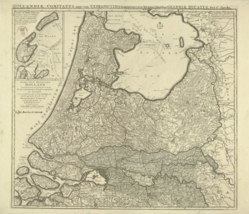
Map of the provinces of Holland, Utrecht, and Gelderland, showing the areas flooded by dike breaches and the flood of December 1740 and November 1741 in green. Top left, an inset with the islands of Texel and Vlieland. Reuse of an older map.
Rijksmuseum, Amsterdam’s own descriptionCredit lineKaart van de provincies Holland, Utrecht en Gelderland met de delen die bij de dijkbreuken in 1740-1741 onder water zijn gelopen. 1740 - 1741. Caspar Specht. Rijksmuseum, Amsterdam. Public domain.