Public domain
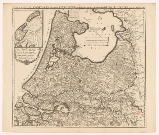
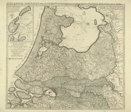
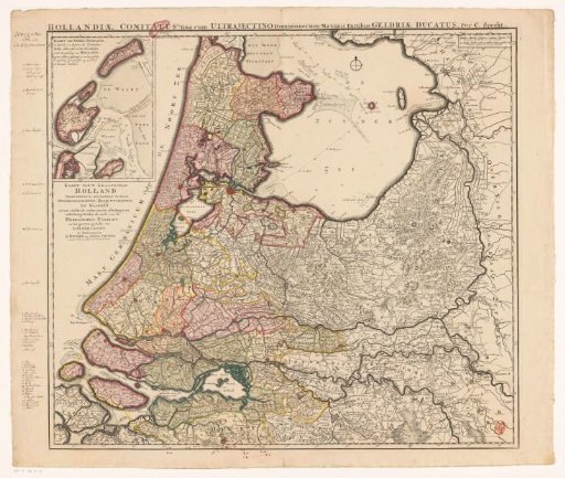
Map of Holland, Utrecht and part of Gelderland
From the collection of Rijksmuseum, Amsterdam. Free to download, adapt and use — no permission needed.
About this work
Map of the County of Holland, the Lordship of Utrecht, and most of the Duchy of Gelderland. Top left an inset map of Texel and Vlieland. Below a cartouche with the Dutch title. In the Zuiderzee two scale bars: Fransche mylen of uren gaens; Duytsche mylen 15 in een graad. Degree division along the edges.
Rijksmuseum, Amsterdam’s own descriptionCredit lineKaart van Holland, Utrecht en een deel van Gelderland. 1704. Caspar Specht. Rijksmuseum, Amsterdam. Public domain.
Similar works
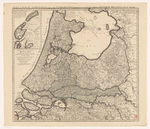 Map of Holland, Utrecht and part of Gelderland
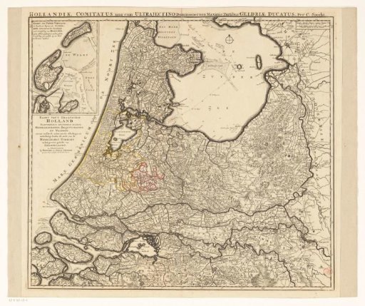 Holland, Utrecht and a part of Gelderland
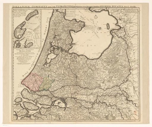 Map of Holland, Utrecht and part of Gelderland
 Map of the Provinces of Holland, Utrecht, and Gelderland with the Areas Flooded by Dike Breaks in 1740-1741
 Map of Holland, Utrecht and part of Gelderland
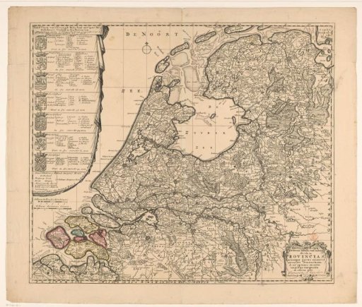 Map of the Republic of the Seven United Netherlands