Public domain
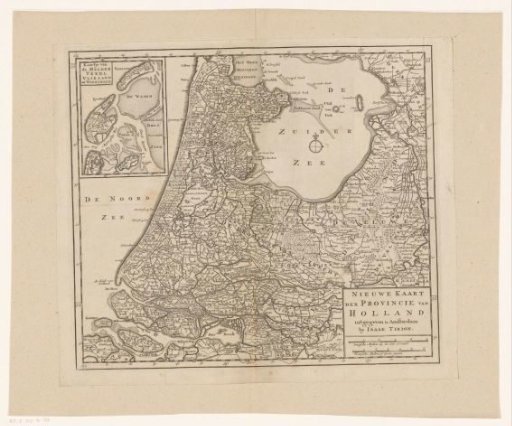
Map of the province of Holland
From the collection of Rijksmuseum, Amsterdam. Free to download, adapt and use — no permission needed.
About this work
Map of Holland and surrounding areas. In the upper left an inset map of the Wadden Sea. In the lower right the title and two scale bars: Dutch miles 15 to a degree; French miles or hours' travel. Degree division along the edges.
Rijksmuseum, Amsterdam’s own descriptionSubjects
Credit lineKaart van de provincie Holland. 1742 - 1744. anonymous. Rijksmuseum, Amsterdam. Public domain.
Similar works
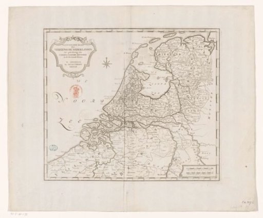 Historical map of the Netherlands in the second half of the sixteenth century
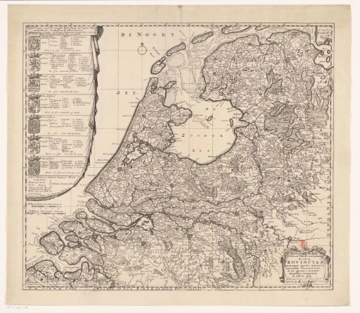 Map of the Republic of the Seven United Netherlands
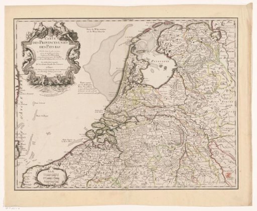 Map of the Republic of the Seven United Netherlands
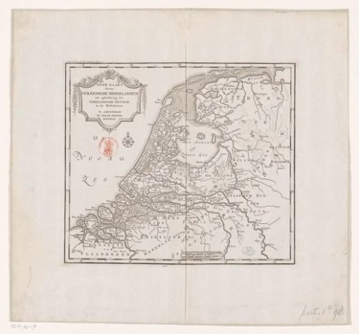 Historical map of the Netherlands in the Middle Ages
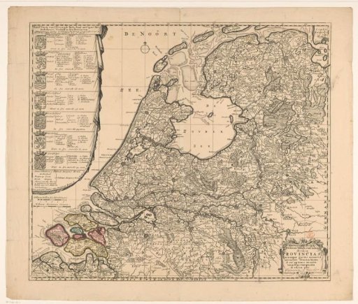 Map of the Republic of the Seven United Netherlands
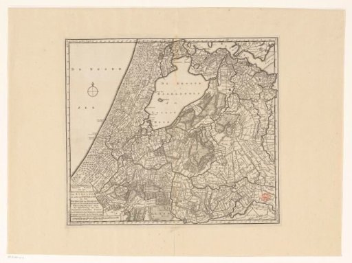 Map of Rijnland, Amstelland and the Waterschap of Woerden