Public domain
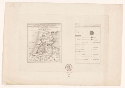
Map of the departments of Amstelland, Maasland and Utrecht
From the collection of Rijksmuseum, Amsterdam. Free to download, adapt and use — no permission needed.
About this work
Map on the left and legend on the right. Intended as a contents page for a large map of the departments of Amstelland, Maasland, and Utrecht. This large map was to appear in four sheets, as indicated on the current map. Ultimately, only the two upper sheets were published. For the upper left part, see RP-P-AO-6-34-1.
Rijksmuseum, Amsterdam’s own descriptionCredit lineKaart van de departementen Amstelland, Maasland en Utrecht. 1807. Cornelis van Baarsel. Rijksmuseum, Amsterdam. Public domain.
Similar works
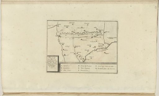 Map showing the line with the Allied army camp, 1710
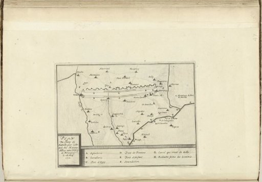 Map with the line of the Allied army camp, 1710
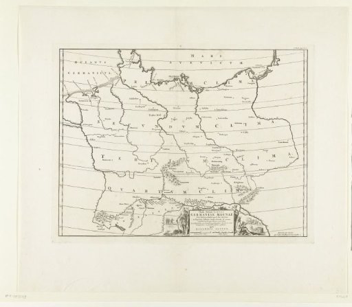 Historical map of Germany
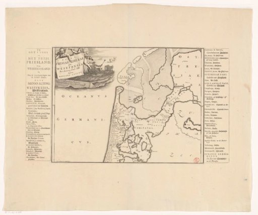 Historical map of the Netherlands with the territories of the Batavians and Frisians
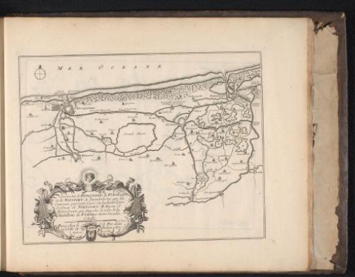 Map of the Flemish coast between Dunkirk and Nieuwpoort, ca. 1693-1696
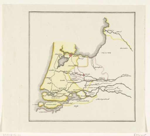 Map of the provinces of Holland, Utrecht and Gelderland showing with colors how far the French had advanced in 1672 and which parts were protected by inundation