Public domain
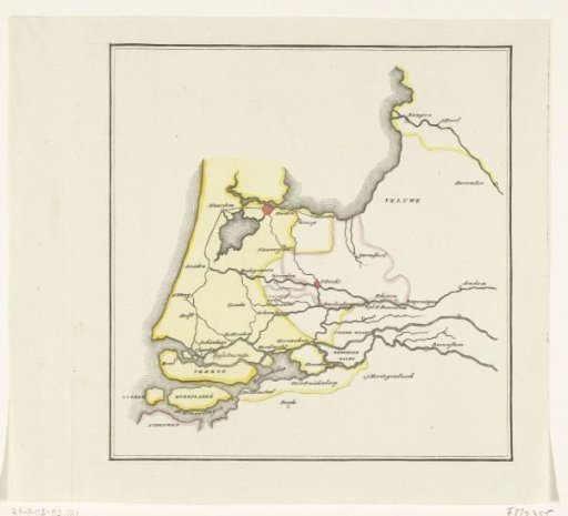
Map of the provinces of Holland, Utrecht and Gelderland showing with colors how far the French had advanced in 1672 and which parts were protected by inundation
From the collection of Rijksmuseum, Amsterdam. Free to download, adapt and use — no permission needed.
About this work
Map of the provinces of Holland, Utrecht and Gelderland showing with the colours yellow and red how far the French had advanced in 1672 and which parts were protected by inundation.
Rijksmuseum, Amsterdam’s own descriptionCredit lineKaart van de provincies Holland, Utrecht en Gelderland waarop met kleuren is aangegeven tot hoever de Fransen in 1672 waren doorgedrongen en welke delen door inundatie beveiligd waren. 1830 - 1853. anonymous. Rijksmuseum, Amsterdam. Public domain.
Similar works
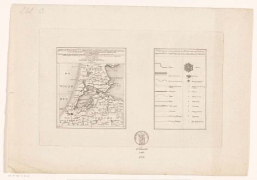 Map of the departments of Amstelland, Maasland and Utrecht
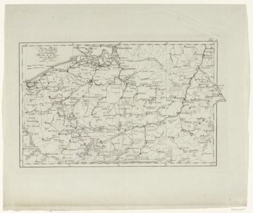 Map of the War Zone in the Austrian Netherlands in 1793-1794
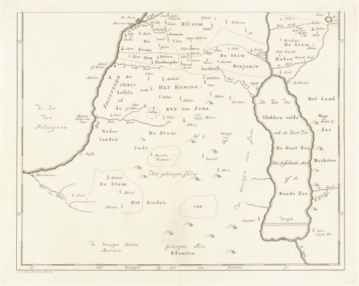 Map of the southern part of Palestine
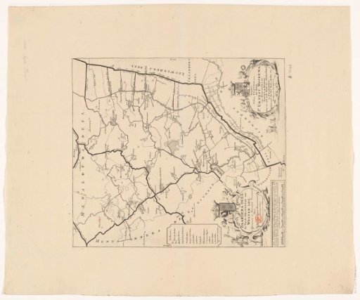 Map of the grietenij Baarderadeel
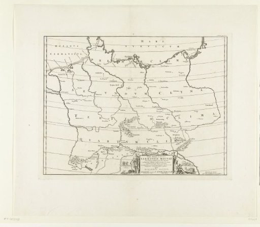 Historical map of Germany
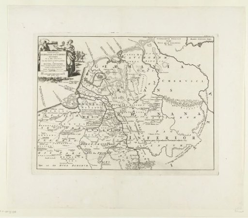 Historical map of the Netherlands with the territories of the Batavians and Frisians