Public domain
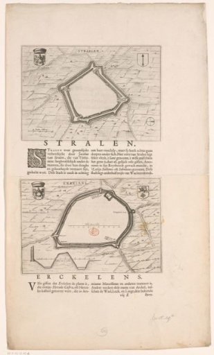
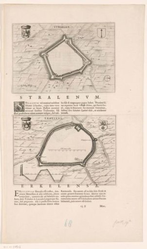
Fortress map and description of Straelen and Erkelenz
From the collection of Rijksmuseum, Amsterdam. Free to download, adapt and use — no permission needed.
About this work
Above, a plan of Straelen. In the upper left, the coat of arms of the Duchy of Guelders, in the upper right, the coat of arms of Straelen. In the lower left, a scale bar: 40 Roeden Veltmaet. Below this, a description of Straelen in Latin. Below, a fortress plan of Erkelenz. In the upper left, the coat of arms of the Duchy of Guelders, in the upper right, the coat of arms of Erkelenz. In the lower left, a cross-section of the wall for the fortress, with scale bar: Schale van 12 roeden. Below this, a description of Erkelenz in Latin. With Latin text on the verso.
Rijksmuseum, Amsterdam’s own descriptionCredit lineVestingplattegrond en beschrijving van Straelen en Erkelenz. 1652. anonymous. Rijksmuseum, Amsterdam. Public domain.