Public domain
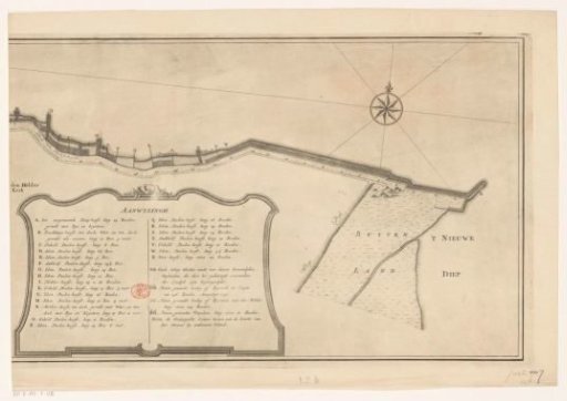
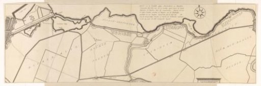
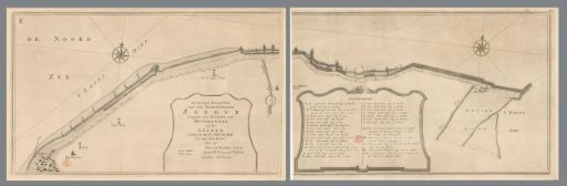
Map of the Sea Dike between Huisduinen and Den Helder, Consisting of Two Parts
From the collection of Rijksmuseum, Amsterdam. Free to download, adapt and use — no permission needed.
About this work
Title cartouche to the left of center, legend to the right of center. Orientation: north to the right.
Rijksmuseum, Amsterdam’s own descriptionCredit lineKaart van de zeedijk tussen Huisduinen en Den Helder, bestaande uit twee delen. in or after 1749-10. anonymous. Rijksmuseum, Amsterdam. Public domain.