Public domain
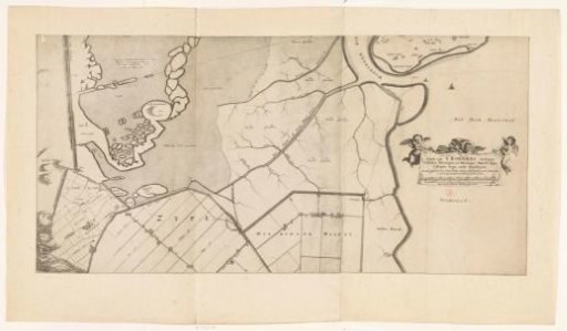
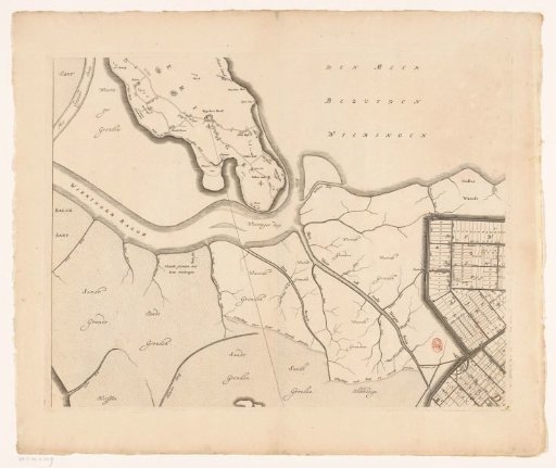
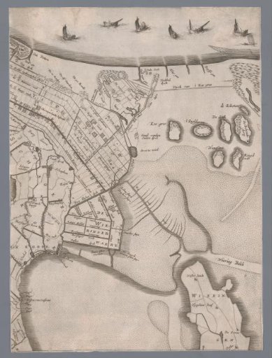
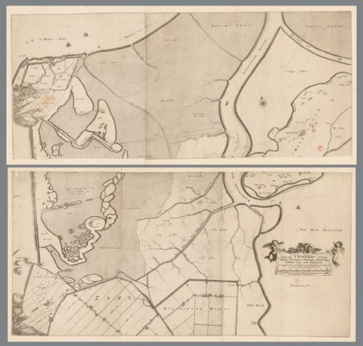
Map of the polder Koegras, consisting of two parts
From the collection of Rijksmuseum, Amsterdam. Free to download, adapt and use — no permission needed.
About this work
In the lower right, a cartouche with the title and two scale bars: Roede van de Zypsedyckx lengte op dese caerte. De 600 quadraet roede een Geestmerambachts morgen; Mate van 800 Rynlants roede op dese caerte.
Rijksmuseum, Amsterdam’s own descriptionCredit lineKaart van de polder het Koegras, bestaande uit twee delen. 1672. Frederik de Wit. Rijksmuseum, Amsterdam. Public domain.