Public domain
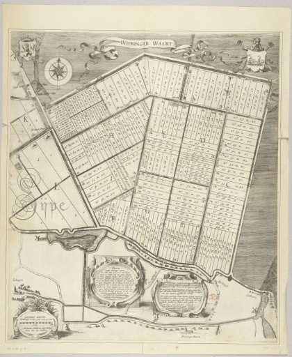
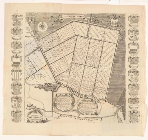
Map of the Plots of the Wieringerwaard, 1611
From the collection of Rijksmuseum, Amsterdam. Free to download, adapt and use — no permission needed.
About this work
Map of the plots of the Wieringerwaard, as allocated on July 12, 1611. In the upper left of the map, the coat of arms of the County of Holland; in the upper right, the coat of arms of the Wieringerwaard. In the lower right, a cartouche with a scale bar: Geestmeer ambochts binnebanse roeden yder van xy voet. To the right of that, another cartouche with title and description, and a cartouche with explanation. Along the right side, the coats of arms of eight principal landowners; along the left side, the coats of arms of the dike reeve, five wardens, the treasurer, and the secretary.
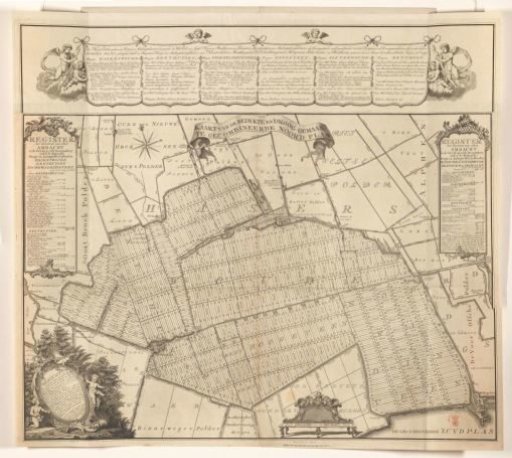
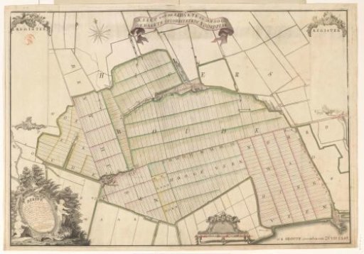
Rijksmuseum, Amsterdam’s own descriptionCredit lineKaart van de kavels van de Wieringerwaard, 1611. 1741 - 1747. anonymous. Rijksmuseum, Amsterdam. Public domain.