Public domain
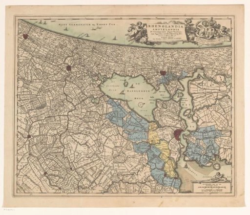
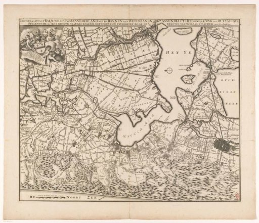
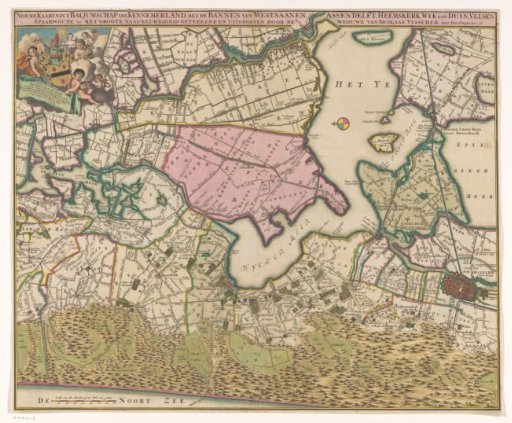
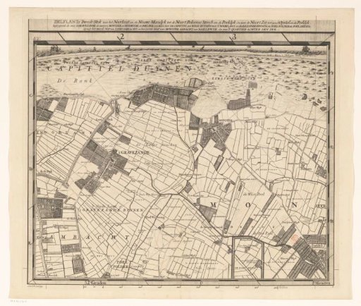
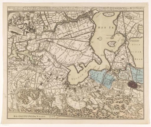
Map of the Bailiwick of Kennemerland
From the collection of Rijksmuseum, Amsterdam. Free to download, adapt and use — no permission needed.
About this work
Map of the bailiwick of Kennemerland. Along the top the title. In the upper left, the dedication to and the coat of arms of the Amsterdam mayor J(o)an van de Poll (1666-1735) with putti around it. In the lower left, a scale: Scale of 800 rods or half an hour's walk. Orientation: north to the left.
Rijksmuseum, Amsterdam’s own descriptionCredit lineKaart van het baljuwschap Kennemerland. 1718 - 1726. anonymous. Rijksmuseum, Amsterdam. Public domain.