Public domain
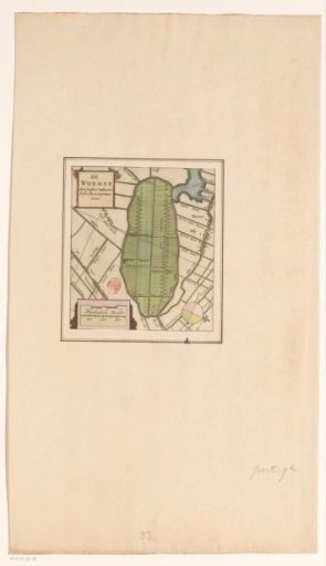
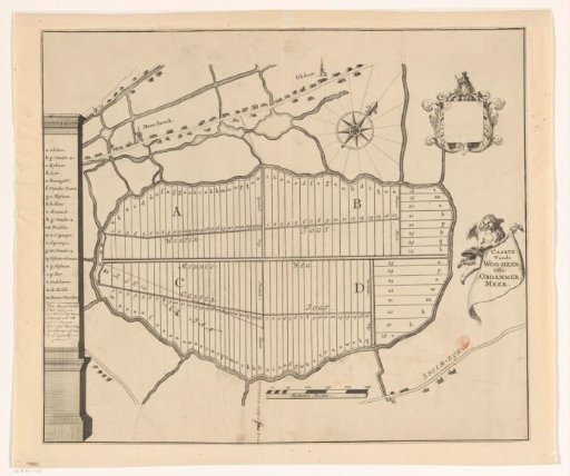
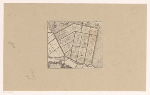
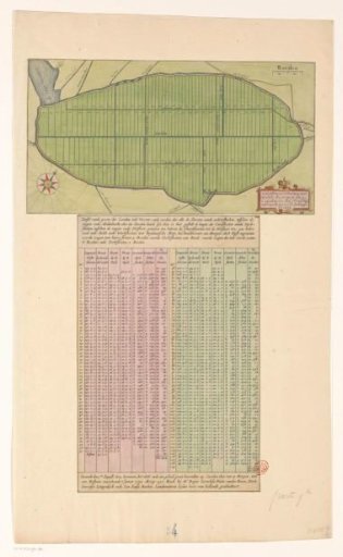
Map and Table with the Plots of the Wormer
From the collection of Rijksmuseum, Amsterdam. Free to download, adapt and use — no permission needed.
About this work
Sheet with a map of the polder de Wormer, or Wijdewormer, with land division at the top. On the map bottom right the title cartouche and top right a scale bar: 200 rods. The Engewormer is not yet drained (1638). Below the map an extensive table with information on the 119 numbered plots on the map.
Rijksmuseum, Amsterdam’s own descriptionCredit lineKaart en tabel met de kavels van de Wormer. 1626 - before 1638. anonymous. Rijksmuseum, Amsterdam. Public domain.