Public domain
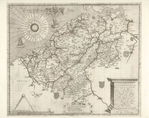
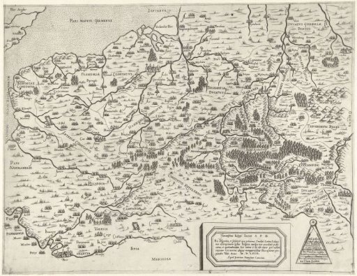
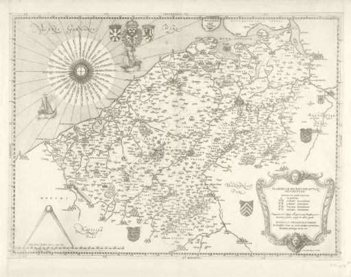
Map of Flanders and Hainaut, 1555
From the collection of Rijksmuseum, Amsterdam. Free to download, adapt and use — no permission needed.
About this work
Map of Flanders and Hainaut. In the lower right, a cartouche with the title, in the lower left, the compass with scales. In the upper left, the imperial coat of arms with the Golden Fleece. All inscriptions in Latin.
Rijksmuseum, Amsterdam’s own descriptionSubjects
Credit lineKaart van Vlaanderen en Henegouwen, 1555. 1555. Jacob Bos. Rijksmuseum, Amsterdam. Public domain.