Public domain
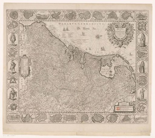
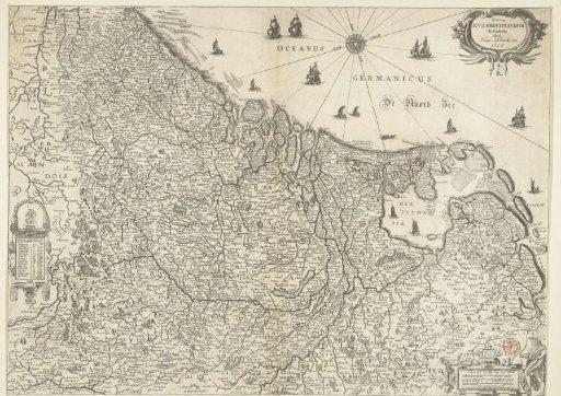
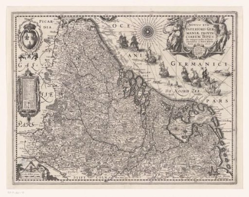
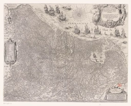
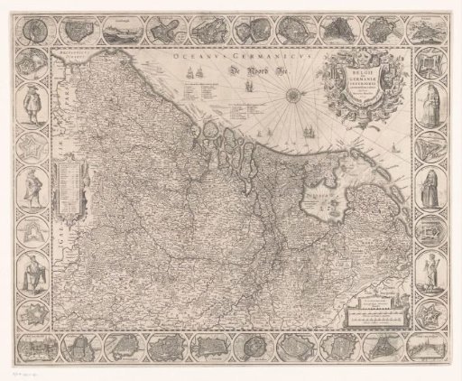
Map of the Netherlands, 1631
From the collection of Rijksmuseum, Amsterdam. Free to download, adapt and use — no permission needed.
About this work
On the left, a cartouche with an overview containing topographical information for each province. In the upper right, a title cartouche in the form of a shield surrounded by the arms of the Seventeen Provinces. In the lower right, a cartouche with a scale bar: Milliaria Germanica communia, Milliaria Gallica communia. Degree divisions along the edges. In the border work, plans of the most important cities and forts, and six medallions with costumes of Dutch men and women, citizens and peasants. All inscriptions in Latin. Orientation: north to the right.
Rijksmuseum, Amsterdam’s own descriptionCredit lineKaart van de Nederlanden, 1631. 1631. Henricus Hondius. Rijksmuseum, Amsterdam. Public domain.