Public domain
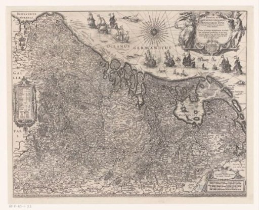
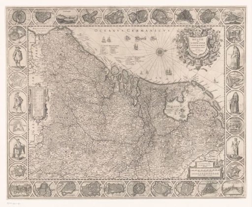
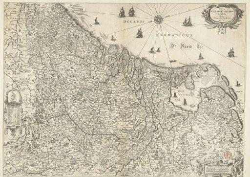
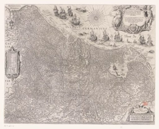
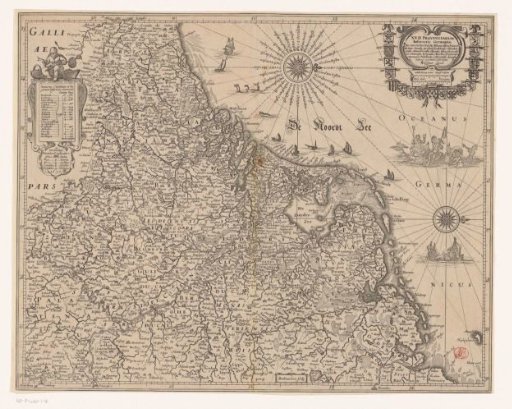
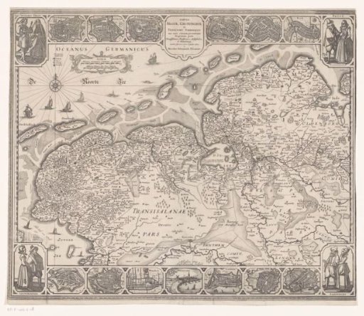
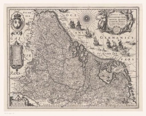
Map of the Seventeen Provinces
From the collection of Rijksmuseum, Amsterdam. Free to download, adapt and use — no permission needed.
About this work
Cartouche in the top left with the coat of arms of France, below it a cartouche with an overview of the provinces, topographical information, and a legend. Scale bar in the bottom left: Scala milliar Germa. Title cartouche in the top right, with Minerva and Mercury depicted to the left and right respectively. Degree distribution along the edges. Orientation: north to the right. On the verso, Latin text.
Rijksmuseum, Amsterdam’s own descriptionSubjects
Credit lineKaart van de Zeventien Provinciën. 1617. Pieter van der Keere. Rijksmuseum, Amsterdam. Public domain.