Public domain
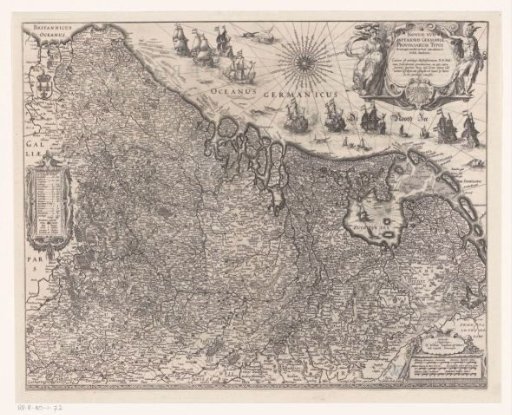
Map of the Seventeen Provinces
From the collection of Rijksmuseum, Amsterdam. Free to download, adapt and use — no permission needed.
About this work
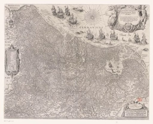
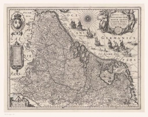
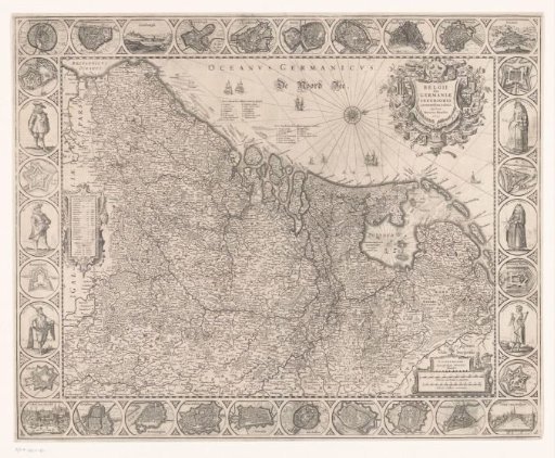
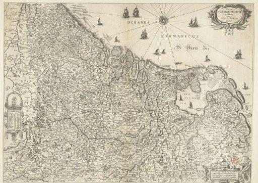
Left: cartouche with topographical information on the Seventeen Provinces and legend. Top right: title cartouche surrounded by Minerva and Mercury. Bottom right: three scale bars: Milliaria Germanica communia / Ghemene Duytsche mijlen, Milliaria Belgica sive hore itineris / Neerlandsche mylen ofte uren gaens, Milliaria Gallica mediocria / Middelbare Walsche mijlen. Orientation: north to the right. On verso: Latin text.
Rijksmuseum, Amsterdam’s own descriptionSubjects
Credit lineKaart van de Zeventien Provinciën. 1608. Josua van den Enden. Rijksmuseum, Amsterdam. Public domain.