Public domain
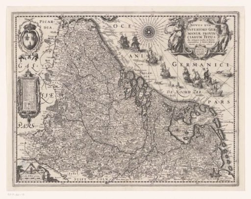
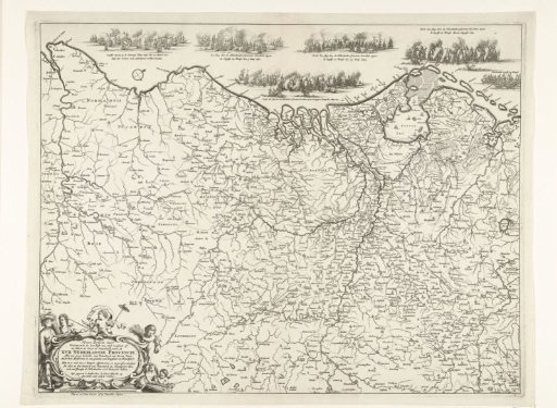
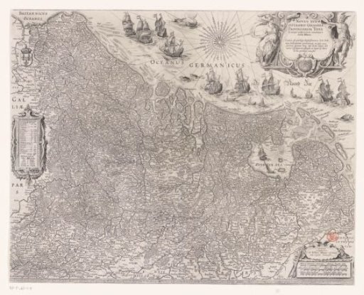
Map of the Seventeen Provinces
From the collection of Rijksmuseum, Amsterdam. Free to download, adapt and use — no permission needed.
About this work
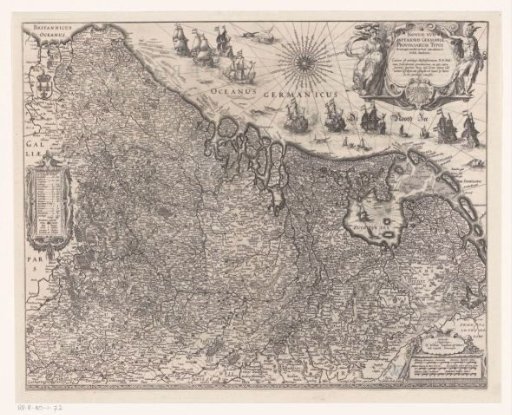
Map of the Seventeen Provinces. In the sea, sailing ships, fish, and seals. Top right the title cartouche with Minerva on the left and Mercury on the right. Left a cartouche with legend and information on the number of cities in each province. Bottom right a cartouche with three scale bars: 9 Milliaria Germanica communia / 12 Milliaria Belgica / 15 Milliaria Gallica mediocria. Top left the coat of arms of the Kingdom of France. With Latin text on the verso.
Rijksmuseum, Amsterdam’s own descriptionSubjects
Credit lineKaart van de Zeventien Provinciën. 1608. Josua van den Enden. Rijksmuseum, Amsterdam. Public domain.