Public domain
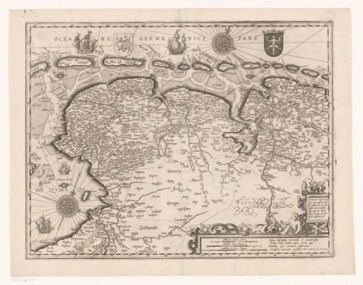
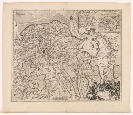
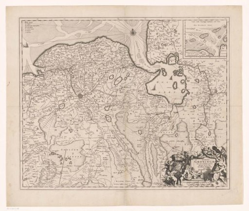
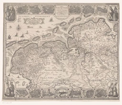
Map of Friesland, Groningen and East Frisia
From the collection of Rijksmuseum, Amsterdam. Free to download, adapt and use — no permission needed.
About this work
Top left: legend and cartouche with two scale bars: Miliaria Germanica communia 15 uni grad.; Miliaria Belgica sive hore itineris. Degree division along the left and right edges. Surrounding the map, a decorative border with four pairs of figures in the corners, respectively dressed in the attire of the ancient Frisians, Frisians, Emdeners, and Groningers. In the top border, a title cartouche and six city views with corresponding coats of arms. In the bottom border, seven city views with corresponding coats of arms.
Rijksmuseum, Amsterdam’s own descriptionCredit lineKaart van Friesland, Groningen en Oost-Friesland. 1649 - 1652. Abraham Goos. Rijksmuseum, Amsterdam. Public domain.