Public domain
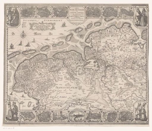
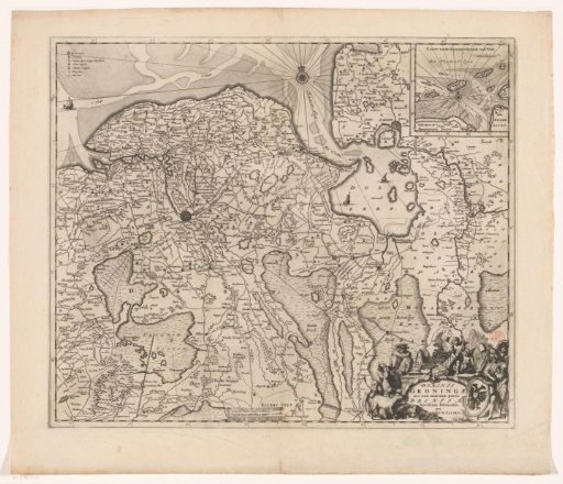
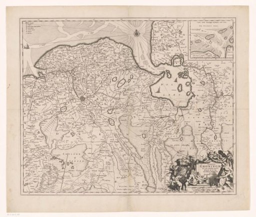
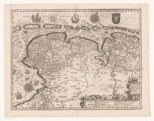
Map of Friesland, Groningen, East Frisia and part of Drenthe
From the collection of Rijksmuseum, Amsterdam. Free to download, adapt and use — no permission needed.
About this work
At the top, the arms of Friesland and East Frisia. In the lower right, a cartouche with titles and three scale bars: Milliaria Frisica parua, Milliaria Frisica mediocria, Milliaria Frisica magna. Degree divisions along the edges.
Rijksmuseum, Amsterdam’s own descriptionCredit lineKaart van Friesland, Groningen, Oost-Friesland en een deel van Drenthe. 1617. Pieter van der Keere. Rijksmuseum, Amsterdam. Public domain.