Public domain
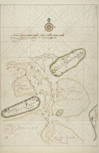
Map of the Vlie
From the collection of Rijksmuseum, Amsterdam. Free to download, adapt and use — no permission needed.
About this work
The islands of Terschelling and Vlieland. Right: Harlingen. Center top: scale and compass. Names of islands, shoals, and channels in handwriting.
Rijksmuseum, Amsterdam’s own descriptionCredit lineKaart van het Vlie. 1581 - 1638. Willem Janszoon Blaeu. Rijksmuseum, Amsterdam. Public domain.
Similar works
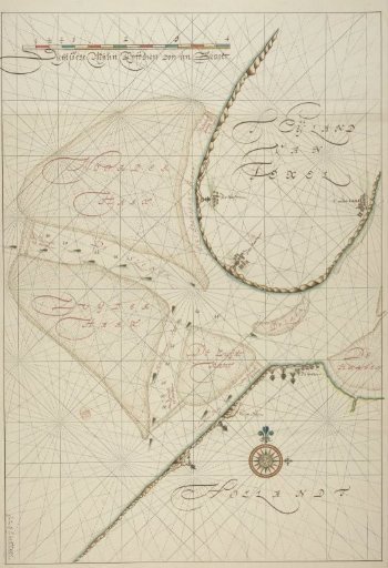 Approach to Texel
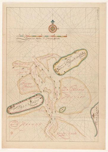 Map of Vlieland, Terschelling, part of Friesland and the surrounding sandbanks
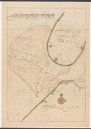 Map of a part of the Kop van Noord-Holland, Zuid-Texel and the surrounding sandbanks
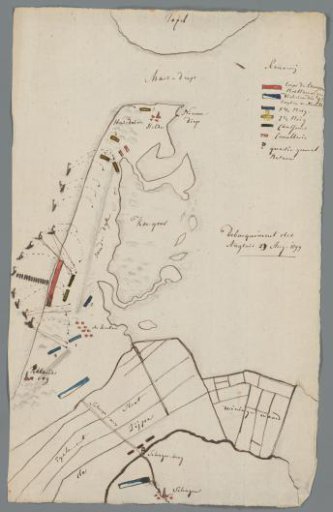 Map of North Holland with the landing of the British, 1799
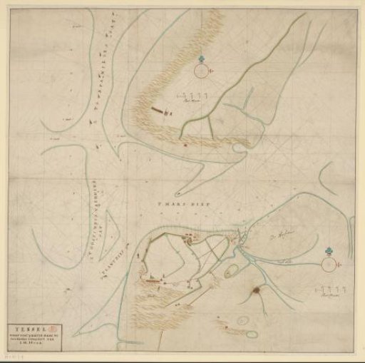 Chart of the Marsdiep between Den Helder and Texel
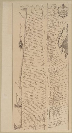 Map of the Warmoesstraat in Amsterdam, 1648