Public domain
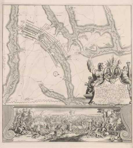
Map and illustration of the Battle of Ramillies, 1706
From the collection of Rijksmuseum, Amsterdam. Free to download, adapt and use — no permission needed.
About this work
Plan and view of the battle of Ramillies between the Allies under the Duke of Marlborough and Hendrik van Nassau, Lord of Ouwerkerk, and the French and Bavarians, 23 May 1706. On the right, a cartouche decorated with allegorical figures and the portraits of Marlborough and Ouwerkerk. At the bottom, a sheet is pasted with the order of battle of the Allies at the field battle. On the left and right, a report of the battle in French and Dutch.
Rijksmuseum, Amsterdam’s own descriptionSubjects
Credit lineLandkaart en illustratie van de slag bij Ramillies, 1706. 1706 - 1708. Jan van Vianen. Rijksmuseum, Amsterdam. Public domain.
Similar works
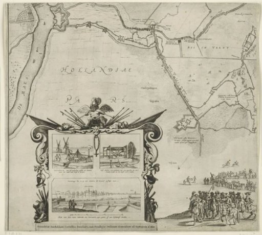 Siege and capture of 's-Hertogenbosch by Frederik Hendrik, 1629, (sheet bottom left)
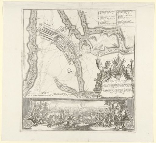 Battle of Ramillies, 1706
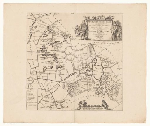 Map of the Grietenij of Tietjerksteradeel
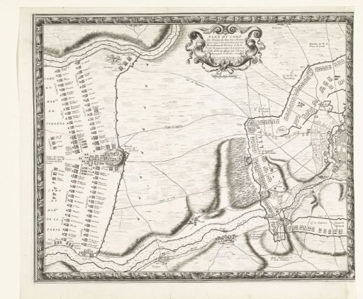 Map with the French army camps during the relief of Arras (left plate), 1654
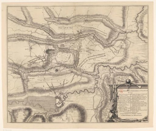 Map of the Battle of Oudenaarde, 1708
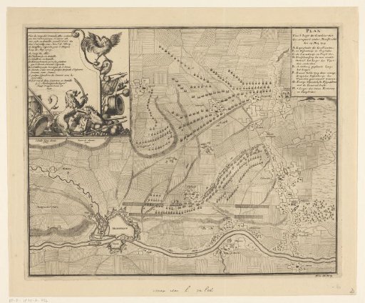 Plan of the camp of the Allies before Maastricht, 1703