Public domain
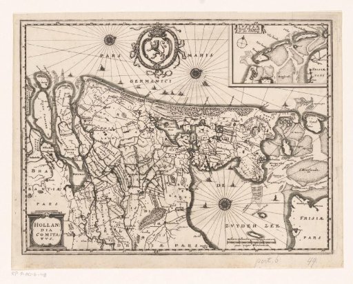
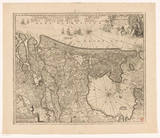
Topographical Map of Holland
From the collection of Rijksmuseum, Amsterdam. Free to download, adapt and use — no permission needed.
About this work
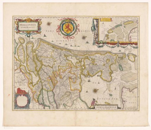
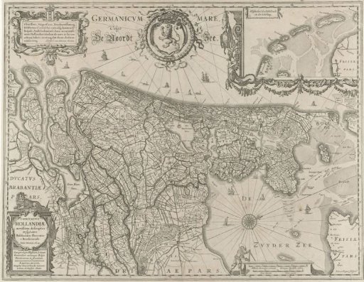
Topographical map of the province of Holland with the North Sea and the coat of arms of Holland at the top. Top left a cartouche with the coat of arms of Amsterdam and a dedication (to the regents of Amsterdam). Bottom left a cartouche with the title, and top right a cartouche decorated with fish containing the Wadden Islands. Bottom right the scale.
Rijksmuseum, Amsterdam’s own descriptionCredit lineTopografische kaart van Holland. 1629 - 1635. Salomon Rogiers. Rijksmuseum, Amsterdam. Public domain.