Public domain
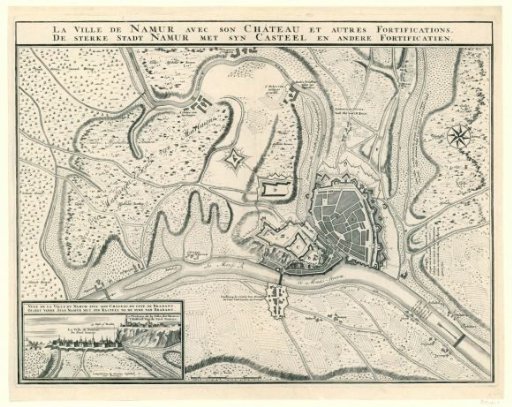
Map of the city of Namur with the castle, besieged by the allies, 1695
From the collection of Rijksmuseum, Amsterdam. Free to download, adapt and use — no permission needed.
About this work
Plan of Namur with the positions of the Allied troops during the siege from 3 July 1695. Map with bilingual inscriptions. Bottom left, a view of the city with the citadel. The print is the second state of a map previously issued in 1692 for the siege by the French (see FMH 2871).
Rijksmuseum, Amsterdam’s own descriptionCredit lineKaart van de stad Namen met het kasteel, belegerd door de geallieerden, 1695. 1695. anonymous. Rijksmuseum, Amsterdam. Public domain.
Similar works
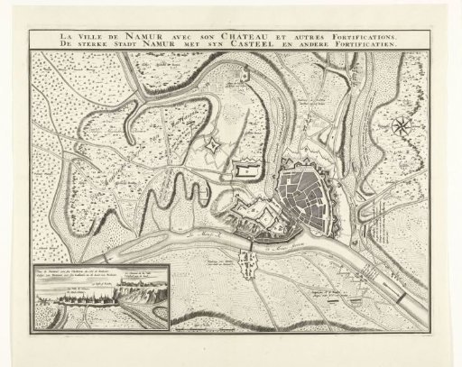 Map of the City of Namur with the Castle, Besieged by the French Army, 1692
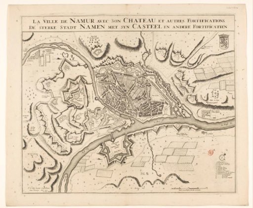 Fortress map of Namur
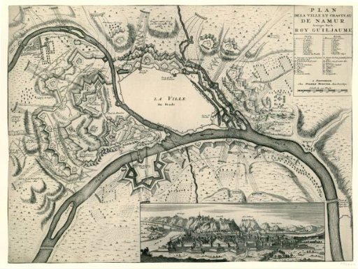 Map of the fortifications of Namur during the siege in 1695
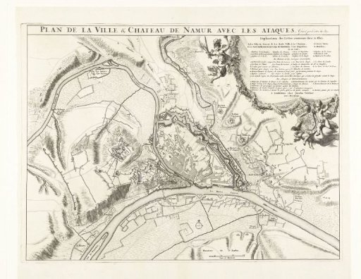 Plan of the City of Namur with the Castle, Besieged by the French Army, 1692
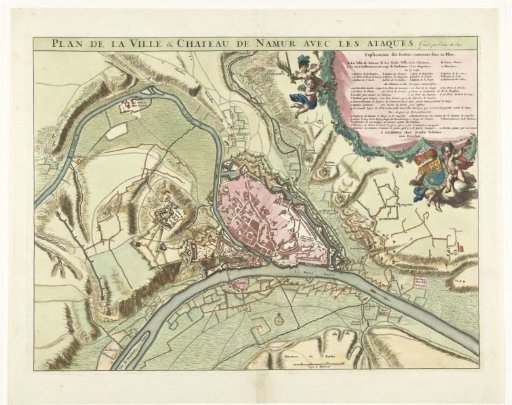 Plan of the City of Namur with the Castle, Besieged by the French Army, 1692
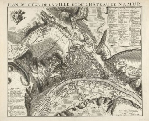 Siege of Namur, 1746