Public domain
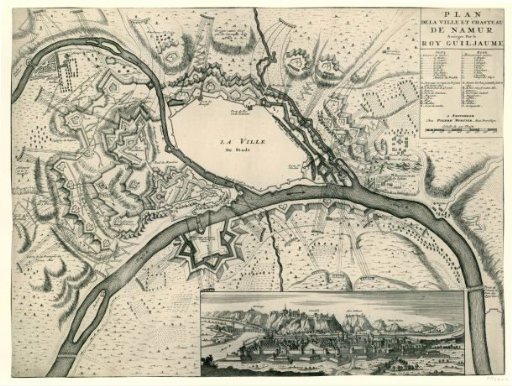
Map of the fortifications of Namur during the siege in 1695
From the collection of Rijksmuseum, Amsterdam. Free to download, adapt and use — no permission needed.
About this work
Plan of the city of Namur showing the positions from which the Allied troops besieged and bombarded the city from 3 July 1695. Top right, a cartouche with a French title and legends in French and Dutch. The view includes a view of Namur at the bottom. The Dutch title is cut off on this copy.
Rijksmuseum, Amsterdam’s own descriptionCredit lineKaart van de versterkingen van Namen bij het beleg in 1695. 1695. anonymous. Rijksmuseum, Amsterdam. Public domain.
Similar works
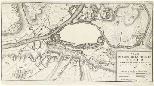 Plan of the Siege of the City of Namur, 1746
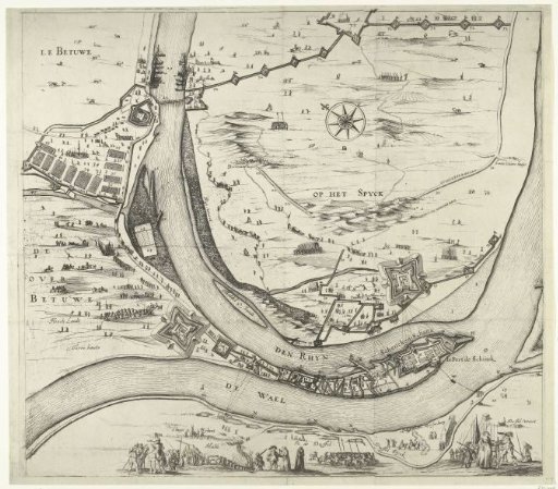 Siege of Schenckenschans (center sheet), 1635
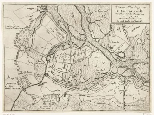 Map of the siege and capture of Sas van Gent, 1644
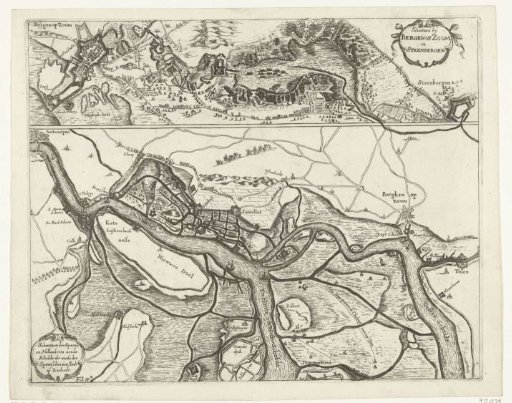 Fortifications during the Siege of Bergen op Zoom in 1622 and the fortifications along the Scheldt in 1627
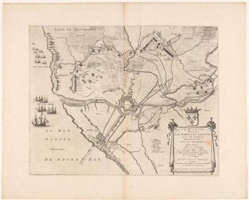 Map of the siege and capture of Grevelingen, 1644
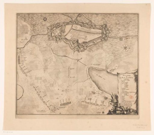 Map of the reconquest of Zoutleeuw by the Allies, 1705