Public domain
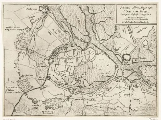
Map of the siege and capture of Sas van Gent, 1644
From the collection of Rijksmuseum, Amsterdam. Free to download, adapt and use — no permission needed.
About this work
Map of the siege of the town of Sas van Gent by the States Army under Frederick Henry, begun 28 July and captured 5 September 1644. Map of Sas van Gent and the surrounding land with the dikes and forts built by the besiegers and their army camps.
Rijksmuseum, Amsterdam’s own descriptionCredit lineKaart van beleg en verovering van Sas-van-Gent, 1644. 1644. anonymous. Rijksmuseum, Amsterdam. Public domain.
Similar works
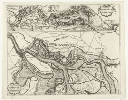 Fortifications during the Siege of Bergen op Zoom in 1622 and the fortifications along the Scheldt in 1627
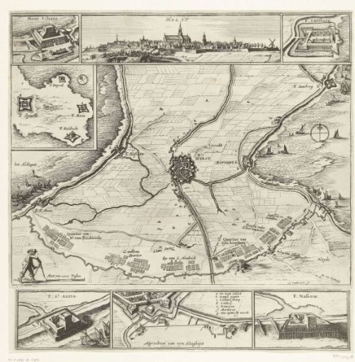 Siege of Hulst, 1645
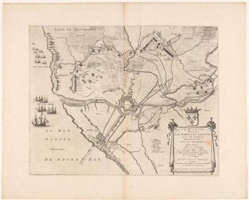 Map of the siege and capture of Grevelingen, 1644
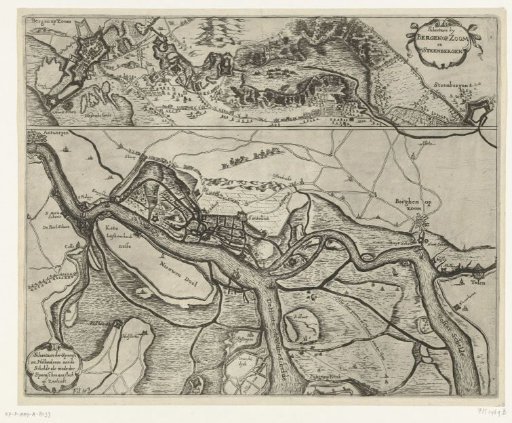 Fortifications at Bergen op Zoom and Steenbergen and along the Scheldt, ca. 1622
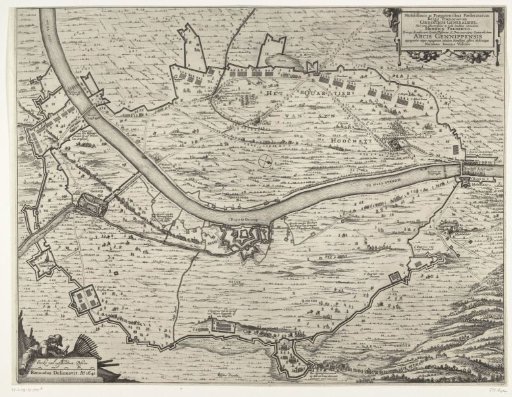 Map of the Siege of the House at Gennep (main sheet), 1641
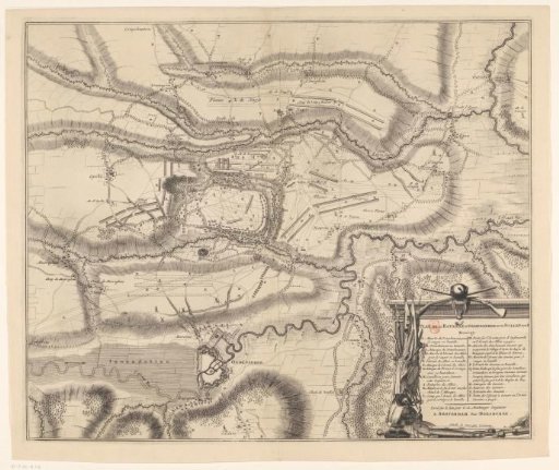 Map of the Battle of Oudenaarde, 1708