Public domain
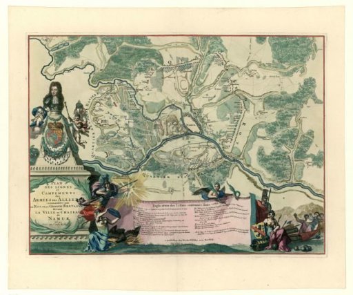
Colored map showing the positions of the allies under William III during the siege of Namur, 1695
From the collection of Rijksmuseum, Amsterdam. Free to download, adapt and use — no permission needed.
About this work
Coloured map of Namur and the surrounding area showing the positions of the Allied troops under King William III during the siege of Namur from 3 July 1695. At the bottom, an 'Explication des Lettres', with allegorical figures on either side. Left, on a pedestal, a bust of King William III.
Rijksmuseum, Amsterdam’s own descriptionCredit lineIngekleurde kaart met de posities van de geallieerden onder Willem III bij het beleg van Namen, 1695. 1695. anonymous. Rijksmuseum, Amsterdam. Public domain.
Similar works
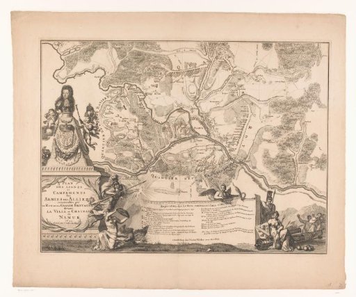 Siege map of Namur
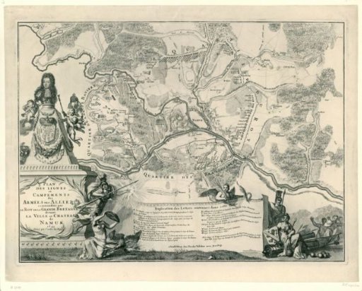 Map showing the positions of the allies under William III during the siege of Namur, 1695
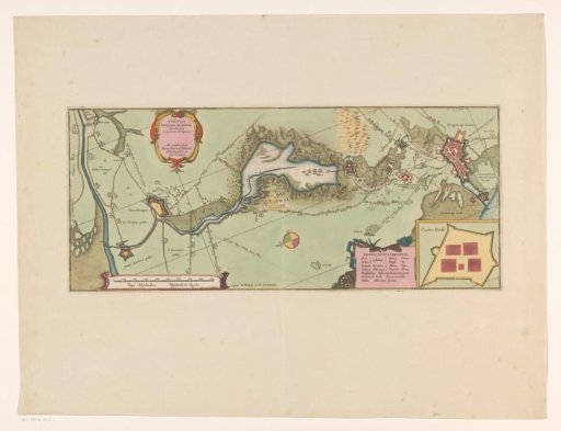 Map of the Siege of Bergen op Zoom, 1622
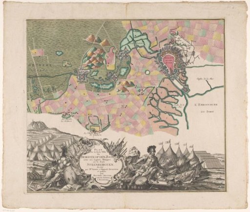 Map of the Siege of Bergen op Zoom, 1747 (right part)
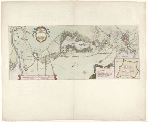 Map of the Siege of Bergen op Zoom, 1622
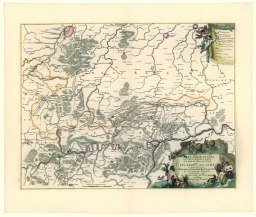 Map showing the positions of the allies and the French during the siege of Namur, 1695