Public domain
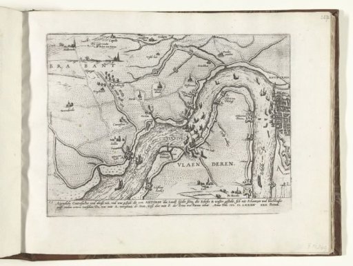
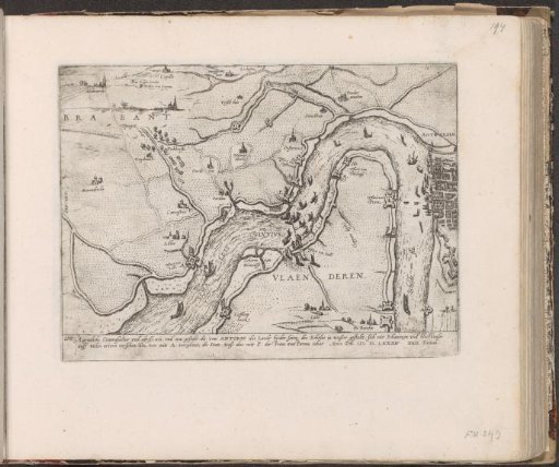
Map of the fortifications along the Scheldt, 1584
From the collection of Rijksmuseum, Amsterdam. Free to download, adapt and use — no permission needed.
About this work
Map with an overview of the fortifications along the Scheldt, 22 December 1584. The forts of Antwerp are marked with the letter A, those of Parma with a P. With caption of 2 lines in German. Numbered in the lower left: 210. The print is part of an album.
Rijksmuseum, Amsterdam’s own descriptionCredit lineKaart van de fortificaties langs de Schelde, 1584. 1587 - c. 1591. Frans Hogenberg. Rijksmuseum, Amsterdam. Public domain.