Public domain
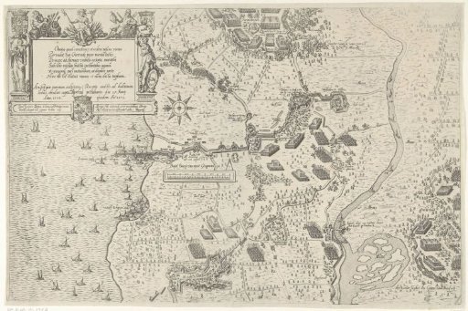
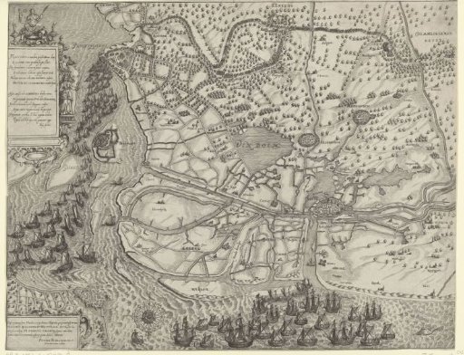
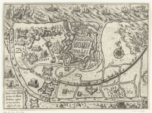
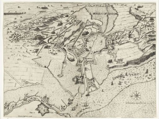
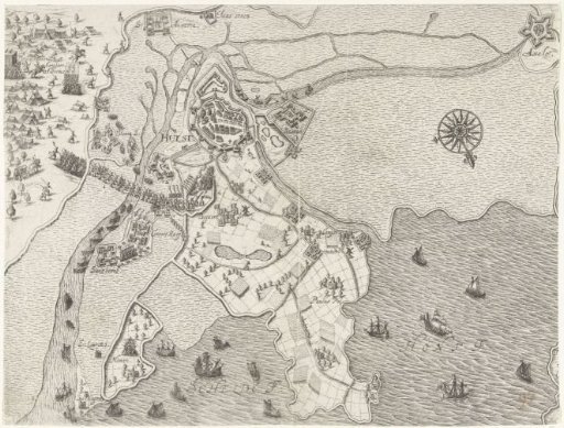
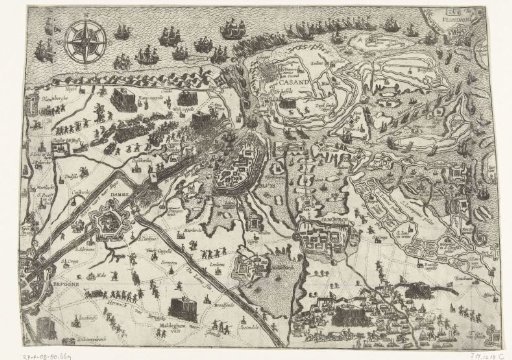
Map of the siege of Sluis by the States Army under Maurice, 1604
From the collection of Rijksmuseum, Amsterdam. Free to download, adapt and use — no permission needed.
About this work
The siege of Sluis by the States army under Maurice, beginning May – 19 August 1604. Map with Sluis centrally in the surrounding area in Flanders, Bruges bottom left, Vlissingen top right. With the camps of the besiegers and a fleet of ships off the coast.
Rijksmuseum, Amsterdam’s own descriptionCredit lineKaart van het beleg van Sluis door het Staatse leger onder Maurits, 1604. 1604. anonymous. Rijksmuseum, Amsterdam. Public domain.