Public domain
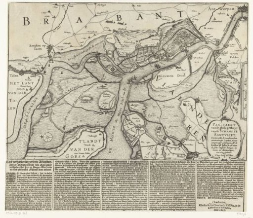
Map showing the construction of the Spanish fort at Zandvliet, 1627
From the collection of Rijksmuseum, Amsterdam. Free to download, adapt and use — no permission needed.
About this work
Map of the river and creek area between the Ooster- and Westerschelde with the construction of the Spanish fort at Zandvliet, 1627. With Spinola's attack on Zuid-Beveland, September 1627. Printed below the plate a text in 5 columns in Dutch.
Rijksmuseum, Amsterdam’s own descriptionCredit lineKaart met de bouw van de Spaanse schans bij Zandvliet, 1627. 1627. Claes Jansz. Visscher (II). Rijksmuseum, Amsterdam. Public domain.
Similar works
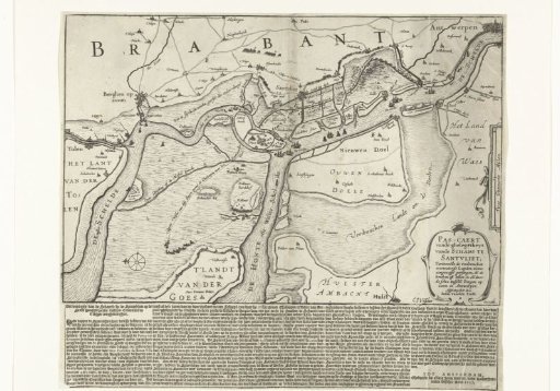 Map showing the construction of the Spanish fort at Zandvliet, 1627
 Victory over the Slaak, 1631
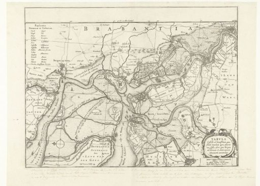
 Forts on the Ooster- and Westerschelde, 1627
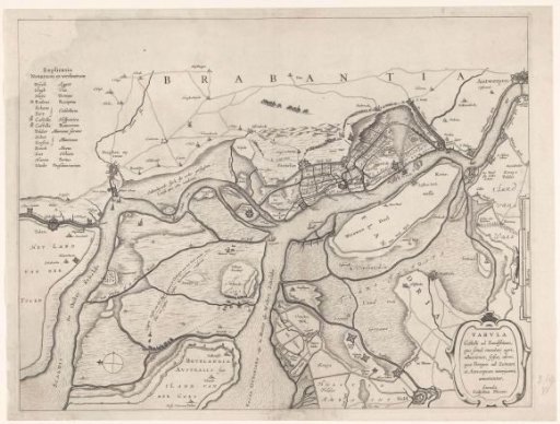 Forts on the Ooster- and Westerschelde, 1627
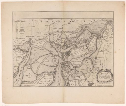
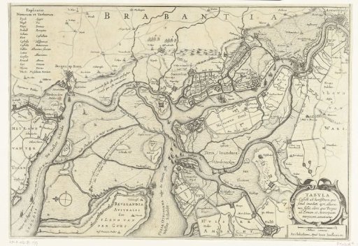 Forts on the Ooster- and Westerscheld, 1627
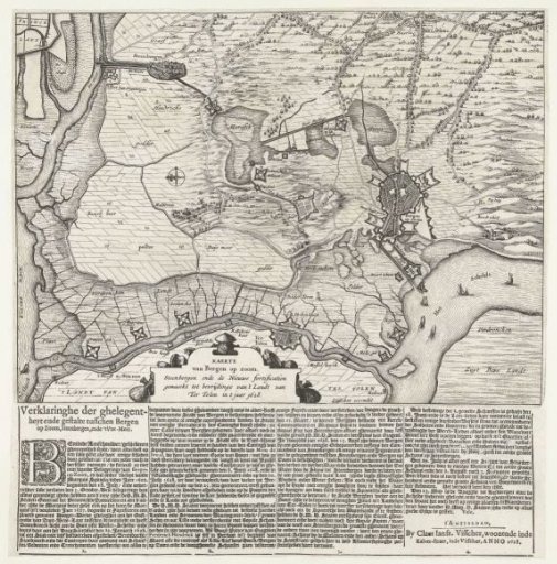 Map of Bergen op Zoom and Steenbergen with the new fortifications, 1628