Public domain
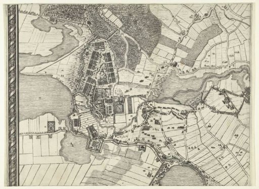
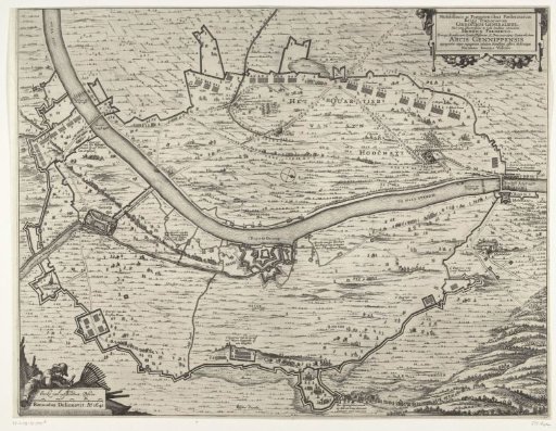
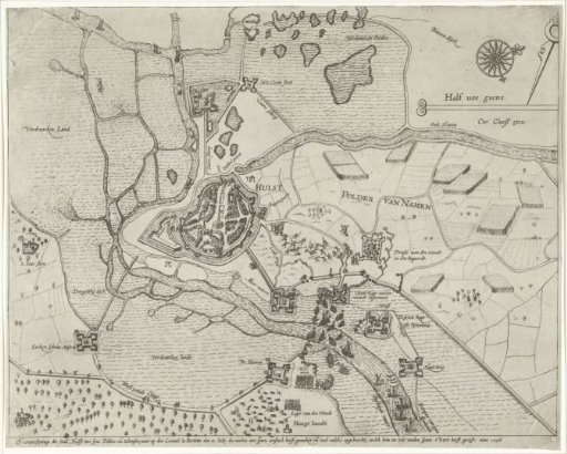
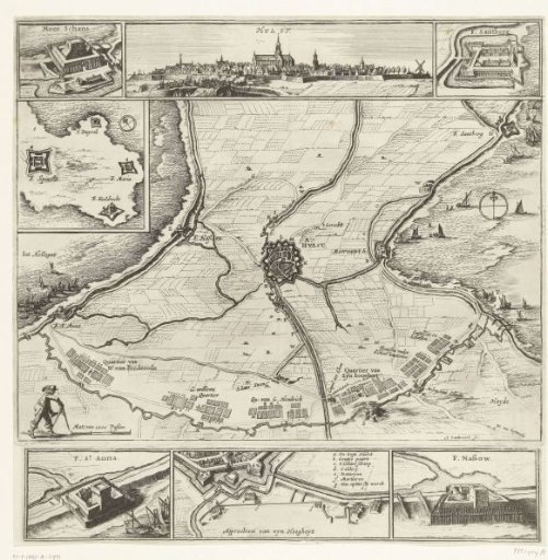
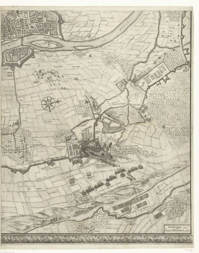
Large map of the siege of Maastricht, 1632, plate 5
From the collection of Rijksmuseum, Amsterdam. Free to download, adapt and use — no permission needed.
About this work
Large map of the siege and capture of Maastricht by the States Army under Stadtholder Frederick Henry, 9 June to 21 August 1632. Map composed of six sheets, three above and three below (the sixth sheet bottom right is missing). This is the sheet bottom middle. Top left the city of Maastricht. In the middle the attack of the relief army under Godfried Henry Count of Pappenheim on positions of the troops of Johan Maurits, Count of Nassau-Siegen at Amby on 17 August. With inscriptions in the image in French and Dutch.
Rijksmuseum, Amsterdam’s own descriptionCredit lineGrote kaart van het beleg van Maastricht, 1632, plaat 5. 1632. Salomon Savery. Rijksmuseum, Amsterdam. Public domain.