Public domain
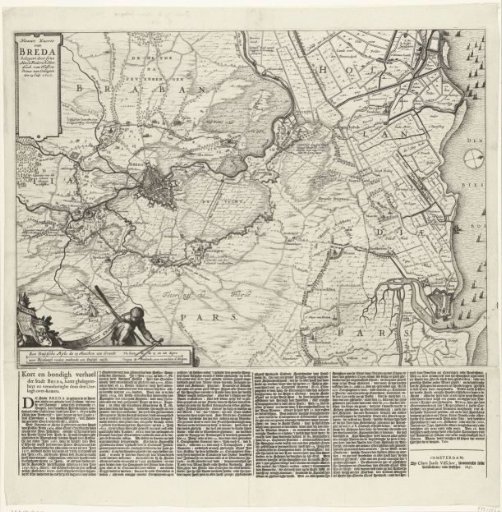
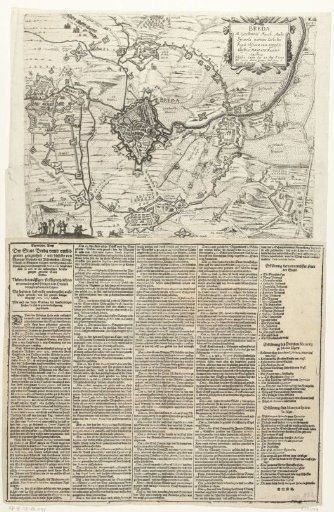
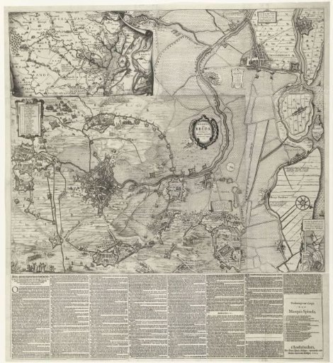
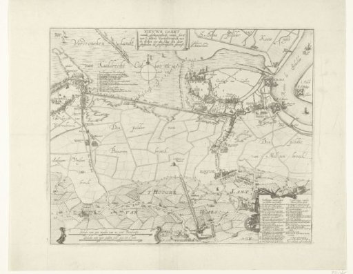
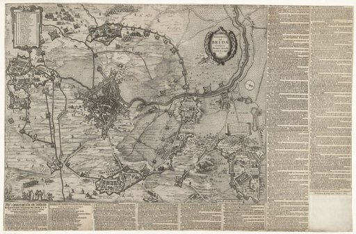
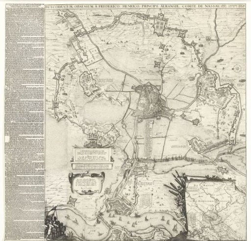
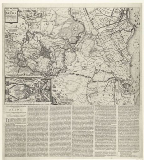
Map of the siege of Breda, 1637
From the collection of Rijksmuseum, Amsterdam. Free to download, adapt and use — no permission needed.
About this work
Map of the siege of Breda by the States army under Frederik Hendrik, 23 July - 10 October 1637. Map of the city and surroundings with the city on the left, top left a cartouche with the title, bottom left a cartouche with a plan of the bastion at the Ginnekens Poort, captured on 7 September. Right Geertruidenberg and the Biesbos. At the bottom of the print a text sheet is attached consisting of 2 halves with a description of the events in 6 long columns.
Rijksmuseum, Amsterdam’s own descriptionCredit lineKaart van het beleg van Breda, 1637. 1637. Rijksmuseum, Amsterdam. Public domain.